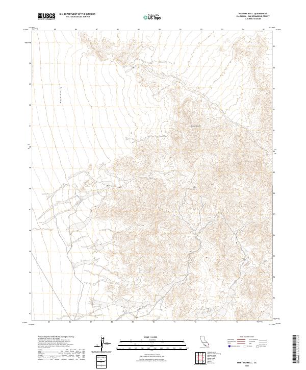
2021 Map of Martins Well
USGS Topo · Published 2021About this map
Ward Valley dominates the western portion of this San Bernardino County landscape, where the wide alluvial floor meets the rising elevations of the Mojave Desert to the east. This 2021 topographic survey provides a precise look at the township and range divisions within this arid expanse, specifically highlighting t3n r19e, t3n r20e, t2n r19e, and t2n r20e. The absence of modern development on the map underscores the area’s remote character, defined by complex contour lines that reveal the desert’s intricate drainage patterns and varying terrain heights.
Find a feature on this map
6 named features on this map. Tap any name to fly to it.
Don’t see what you’re looking for? This feature index may not catch every label — zoom into the map to look around manually.
Map Details
Editions of this 2021 Martins Well Map
This is the sole edition of this map. No revisions or reprints were ever made.
Other maps of this area

1942 · Amboy
USGS Topo · 1:250,000

1943 · Amboy
USGS Topo · 1:250,000

1943 · Turtle Mts.
USGS Topo · 1:62,500

1943 · Iron Mountains
USGS Topo · 1:62,500

1954 · Needles
USGS Topo · 1:250,000

1954 · Turtle Mountains
USGS Topo · 1:62,500

1954 · Rice
USGS Topo · 1:62,500

1956 · Needles
USGS Topo · 1:250,000

1956 · Milligan
USGS Topo · 1:62,500

1956 · Iron Mountains
USGS Topo · 1:62,500