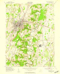
1955 Map of Martinsburg
USGS Topo · Published 1957About this map
The industrial and institutional expansion of mid-century Martinsburg is anchored by the presence of the Newton D Baker General Hospital and the Martinsburg Airport to the south. The city's landscape is defined by its strategic position along the Baltimore and Ohio and Pennsylvania railroad lines, which fueled the development of various industries including a Limestone Quarry and Clay Strip Mine.
Find a feature on this map
45 named features on this map. Tap any name to fly to it.
Don’t see what you’re looking for? This feature index may not catch every label — zoom into the map to look around manually.
Map Details
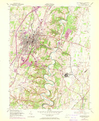
Editions of this 1955 Martinsburg Map
2 editions found
Other maps of this area

1884 · Harpers Ferry
USGS Topo · 1:125,000

1891 · Harpers Ferry
USGS Topo · 1:125,000

1893 · Harpers Ferry
USGS Topo · 1:125,000

1894 · Winchester
USGS Topo · 1:125,000

1899 · Hancock
USGS Topo · 1:62,500

1901 · Hancock
USGS Topo · 1:62,500

1912 · Williamsport
USGS Topo · 1:62,500

1914 · Martinsburg
USGS Topo · 1:48,000

1914 · Gerrardstown
USGS Topo · 1:48,000

1916 · Gerrardstown
USGS Topo · 1:62,500