
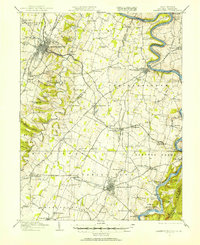
1914 Map of Martinsburg
USGS Topo · Published 1914About this map
Martinsburg and Charles Town anchor this eastern panhandle landscape during a period of significant industrial and transportation development. The Potomac River defines the northern boundary, shadowed by the Chesapeake and Ohio Canal and its infrastructure, including Dam No 4. The map reveals a dense network of transit, from the Hagerstown Turnpike to the intersecting tracks of the Baltimore and Ohio and Norfolk and Western railroads at Shenandoah Junction.
Find a feature on this map
109 named features on this map. Tap any name to fly to it.
Don’t see what you’re looking for? This feature index may not catch every label — zoom into the map to look around manually.
Map Details
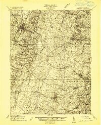
Editions of this 1914 Martinsburg Map
3 editions found
Other maps of this area

1884 · Harpers Ferry
USGS Topo · 1:125,000

1891 · Harpers Ferry
USGS Topo · 1:125,000

1893 · Harpers Ferry
USGS Topo · 1:125,000

1894 · Winchester
USGS Topo · 1:125,000

1899 · Hancock
USGS Topo · 1:62,500

1901 · Hancock
USGS Topo · 1:62,500

1908 · Middletown
USGS Topo · 1:48,000

1909 · Hagerstown
USGS Topo · 1:48,000

1910 · Antietam
USGS Topo · 1:62,500

1912 · Hagerstown
USGS Topo · 1:62,500