
1916 Map of Martinsburg
USGS Topo · Published 1916About this map
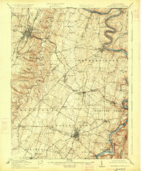
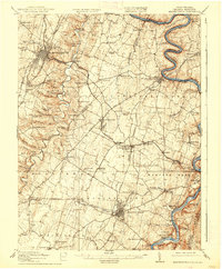
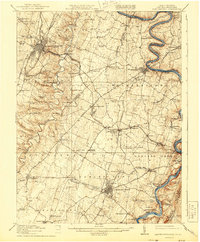
Martinsburg and Charles Town anchor this 1916 survey of the Eastern Panhandle, revealing a landscape defined by the intricate bends of the Potomac River and the industrial corridors of the Baltimore and Ohio RR. The map illustrates the convergence of several historic rail lines, including the Norfolk and Western RR and the Cumberland Valley RR, which facilitated the transport of limestone and agricultural goods through Shenandoah Junction.
Find a feature on this map
93 named features on this map. Tap any name to fly to it.
Don’t see what you’re looking for? This feature index may not catch every label — zoom into the map to look around manually.
Map Details
Editions of this 1916 Martinsburg Map
4 editions found
Other maps of this area

1884 · Harpers Ferry
USGS Topo · 1:125,000

1891 · Harpers Ferry
USGS Topo · 1:125,000

1893 · Harpers Ferry
USGS Topo · 1:125,000

1894 · Winchester
USGS Topo · 1:125,000

1899 · Hancock
USGS Topo · 1:62,500

1901 · Hancock
USGS Topo · 1:62,500

1908 · Middletown
USGS Topo · 1:48,000

1909 · Hagerstown
USGS Topo · 1:48,000

1910 · Antietam
USGS Topo · 1:62,500

1912 · Hagerstown
USGS Topo · 1:62,500