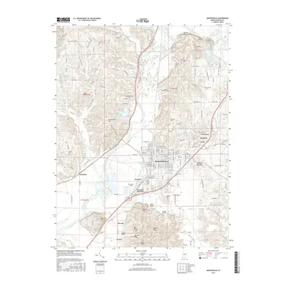
2016 Map of Martinsville
USGS Topo · Published 2016About this map
The White River winds through the heart of this Morgan County landscape, carving a wide valley flanked by prominent elevations like Blue Bluff and Barnard Hill. To the north, the terrain rises sharply into the distinctive Slaughterhouse Hill and Jakes Butte, while the residential growth of Martinsville expands toward the southeast. This 2016 survey captures the intricate local road network, including Old State RD 37 and Old Morgantown RD, which connect older nodes like Hyndsdale and Maxwell.
Find a feature on this map
187 named features on this map. Tap any name to fly to it.
Don’t see what you’re looking for? This feature index may not catch every label — zoom into the map to look around manually.
Map Details
Editions of this 2016 Martinsville Map
This is the sole edition of this map. No revisions or reprints were ever made.
Other maps of this area

1942 · Franklin
USGS Topo · 1:125,000

1948 · Hindustan
USGS Topo · 1:24,000

1948 · Morgantown
USGS Topo · 1:24,000

1950 · Morgantown
USGS Topo · 1:24,000

1953 · Indianapolis
USGS Topo · 1:250,000

1955 · Hall
USGS Topo · 1:24,000

1955 · Cope
USGS Topo · 1:24,000

1955 · Mooresville West
USGS Topo · 1:24,000

1955 · Martinsville
USGS Topo · 1:24,000

1955 · Mooresville East
USGS Topo · 1:24,000