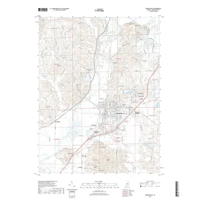
2019 Map of Martinsville
USGS Topo · Published 2019About this map
Martinsville serves as the central anchor of this Morgan County landscape, where the White River winds past a complex of ridges and bottoms. The terrain north of the city is particularly defined by distinct elevations like Blue Bluff, Fox Cliff, and Clark Hill, while to the south, the land transitions into the reaches of Indian Creek and Thacker Ridge. This 2019 survey documents the modern suburban expansion of Woodcrest, Shelburne, and Wolff northeast of the city center, contrasting with the established rural character of Hyndsdale and the small residential cluster at McDaniel. Numerous family and community burial grounds, including Williams Cem, Nutter Cem, and Maxwell Cem, are preserved across the quadrangle. The mapping also highlights specialized local landmarks such as Slaughterhouse Hill and Pumpkinvine Hill, providing a detailed record of the contemporary physical and cultural geography of the region.
Find a feature on this map
203 named features on this map. Tap any name to fly to it.
Don’t see what you’re looking for? This feature index may not catch every label — zoom into the map to look around manually.
Map Details
Editions of this 2019 Martinsville Map
This is the sole edition of this map. No revisions or reprints were ever made.
Other maps of this area

1942 · Franklin
USGS Topo · 1:125,000

1948 · Hindustan
USGS Topo · 1:24,000

1948 · Morgantown
USGS Topo · 1:24,000

1950 · Morgantown
USGS Topo · 1:24,000

1953 · Indianapolis
USGS Topo · 1:250,000

1955 · Hall
USGS Topo · 1:24,000

1955 · Cope
USGS Topo · 1:24,000

1955 · Mooresville West
USGS Topo · 1:24,000

1955 · Martinsville
USGS Topo · 1:24,000

1955 · Mooresville East
USGS Topo · 1:24,000