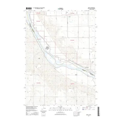
2015 Map of Marty
USGS Topo · Published 2015About this map
The Missouri River forms the central spine of this landscape, marking the state line between South Dakota and Nebraska. Along its northern banks, the community of Marty serves as a local hub, home to Saint Pauls Cem. Further downstream, the settlement of Greenwood sits near the Holy Fellowship Cem, tucked into a bend of the river within the Missouri National Recreation River corridor.
Find a feature on this map
45 named features on this map. Tap any name to fly to it.
Don’t see what you’re looking for? This feature index may not catch every label — zoom into the map to look around manually.
Map Details
Editions of this 2015 Marty Map
This is the sole edition of this map. No revisions or reprints were ever made.
Other maps of this area
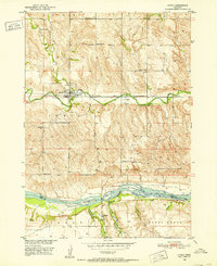
1950 · Lynch
USGS Topo · 1:24,000
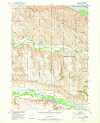
1950 · Monowi
USGS Topo · 1:24,000
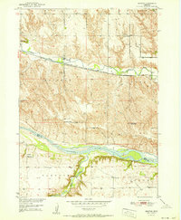
1951 · Bristow
USGS Topo · 1:24,000
1952 · Monowi
USGS Topo · 1:24,000

1955 · Mitchell
USGS Topo · 1:250,000
1955 · O'Neill
USGS Topo · 1:250,000
1959 · O'Neill
USGS Topo · 1:250,000
1959 · Mitchell
USGS Topo · 1:250,000
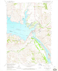
1964 · Fort Randall Dam
USGS Topo · 1:24,000
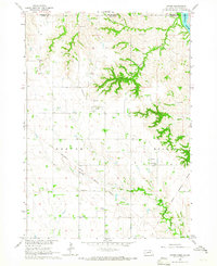
1964 · Gross
USGS Topo · 1:24,000