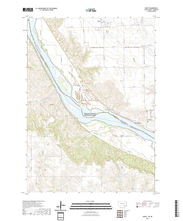
2021 Map of Marty
USGS Topo · Published 2021About this map
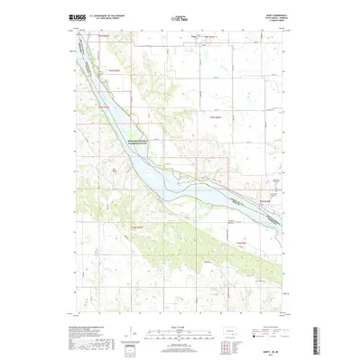
Marty sits on the northern edge of this Missouri River landscape where the border of South Dakota and Nebraska follows the shifting waters of the Missouri National Recreation River. The terrain transitions from the upland bluffs of Old Baldy down to the fertile flats of Sunshine Bottom. This area is defined by a deep religious and community history, evidenced by the cluster of burial grounds near the settlement of Greenwood, including Greenwood Presbyterian Cem, Holy Fellowship Cem, and Greenwood Episcopal Cem.
Find a feature on this map
41 named features on this map. Tap any name to fly to it.
Don’t see what you’re looking for? This feature index may not catch every label — zoom into the map to look around manually.
Map Details
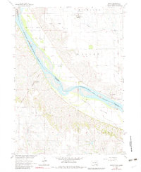
Editions of this 2021 Marty Map
This is the sole edition of this map. No revisions or reprints were ever made.
Historical Maps of White Swan Township Through Time
5 maps found
Featured Locations
- Wahehe Township, SD
- White Swan Township, SD
- Plain Center Township, SD
- Greenwood, Wahehe Township
- Marty, Wahehe Township