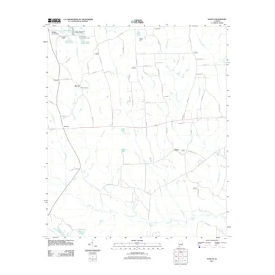
2011 Map of Marvyn
USGS Topo · Published 2011About this map
Marvyn and Whatley Cross Road anchor this rural Lee County landscape, defined by a complex network of creeks and small impoundments. The terrain is intricately carved by Uchee Creek, Watula Creek, and Snake Creek, which feed into various privately named water bodies such as Lake Cherry and the series of Bruce Ponds. These water features, including Bruce Pond Number Two and Bruce Pond Number Four, suggest a history of local land management and agricultural water use.
Find a feature on this map
80 named features on this map. Tap any name to fly to it.
Don’t see what you’re looking for? This feature index may not catch every label — zoom into the map to look around manually.
Map Details
Editions of this 2011 Marvyn Map
This is the sole edition of this map. No revisions or reprints were ever made.
Other maps of this area

1907 · Opelika
USGS Topo · 1:125,000

1909 · Opelika
USGS Topo · 1:125,000

1914 · Seale
USGS Topo · 1:62,500

1950 · Crawford
USGS Topo · 1:24,000

1950 · Seale
USGS Topo · 1:24,000

1950 · Seale
USGS Topo · 1:62,500

1955 · Seale
USGS Topo · 1:24,000

1955 · Crawford
USGS Topo · 1:24,000

1955 · Seale
USGS Topo · 1:62,500

1955 · Phenix City
USGS Topo · 1:250,000