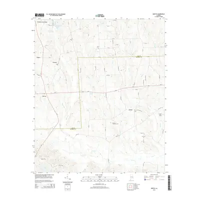
2014 Map of Marvyn
USGS Topo · Published 2014About this map
Marvyn and Uhland anchor this rural landscape along the boundary of Lee and Russell Counties, where a network of county roads connects family-named landmarks and scattered agrarian settlements. The terrain is defined by the headwaters and tributaries of Watula Creek and Uchee Creek, which feed numerous small reservoirs such as Capps Pond and Dudley Pond. Local history is deeply etched into the land through a series of community burial grounds, including Canaan Cem, Union Cem, and Watoola Cem.
Find a feature on this map
78 named features on this map. Tap any name to fly to it.
Don’t see what you’re looking for? This feature index may not catch every label — zoom into the map to look around manually.
Map Details
Editions of this 2014 Marvyn Map
This is the sole edition of this map. No revisions or reprints were ever made.
Other maps of this area

1907 · Opelika
USGS Topo · 1:125,000

1909 · Opelika
USGS Topo · 1:125,000

1914 · Seale
USGS Topo · 1:62,500

1950 · Crawford
USGS Topo · 1:24,000

1950 · Seale
USGS Topo · 1:24,000

1950 · Seale
USGS Topo · 1:62,500

1955 · Seale
USGS Topo · 1:24,000

1955 · Crawford
USGS Topo · 1:24,000

1955 · Seale
USGS Topo · 1:62,500

1955 · Phenix City
USGS Topo · 1:250,000