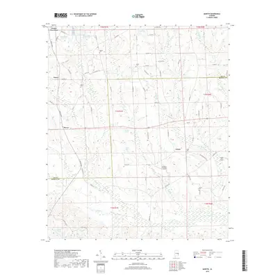
2018 Map of Marvyn
USGS Topo · Published 2018About this map
Marvyn and Uhland anchor this rural landscape in eastern Alabama, situated along the border of Lee and Russell counties. The terrain is defined by a dense network of water bodies and family-named landmarks, reflecting a deep-seated agricultural and community heritage. Small cemeteries such as Watoola Cem, Jenkins Cem, and Dupree Cem are scattered across the quadrangle, often located near historical crossroads or farmsteads. These sites, along with the Union Cem and Canaan Cem, provide significant touchpoints for genealogical research in this portion of the coastal plain.
Find a feature on this map
83 named features on this map. Tap any name to fly to it.
Don’t see what you’re looking for? This feature index may not catch every label — zoom into the map to look around manually.
Map Details
Editions of this 2018 Marvyn Map
This is the sole edition of this map. No revisions or reprints were ever made.
Other maps of this area

1907 · Opelika
USGS Topo · 1:125,000

1909 · Opelika
USGS Topo · 1:125,000

1914 · Seale
USGS Topo · 1:62,500

1950 · Crawford
USGS Topo · 1:24,000

1950 · Seale
USGS Topo · 1:24,000

1950 · Seale
USGS Topo · 1:62,500

1955 · Seale
USGS Topo · 1:24,000

1955 · Crawford
USGS Topo · 1:24,000

1955 · Seale
USGS Topo · 1:62,500

1955 · Phenix City
USGS Topo · 1:250,000