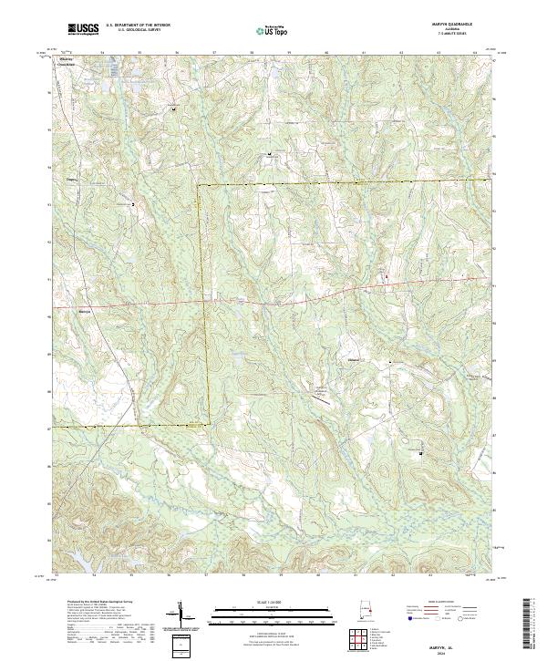
2024 Map of Marvyn
USGS Topo · Published 2024About this map
Marvyn and Uhland sit within a landscape defined by the crossing of the Lee County and Russell County line. This 2024 map shows a rural Alabama interior heavily influenced by its water systems, notably the winding Uchee Creek in the south and a series of managed ponds including Bruce Pond Number One near Whatley Cross Road. The area maintains its agricultural and residential character through local landmarks like the Flying C's Plantation Airport and several family-named burial grounds such as Dupree Cem and Jenkins Cem.
Find a feature on this map
80 named features on this map. Tap any name to fly to it.
Don’t see what you’re looking for? This feature index may not catch every label — zoom into the map to look around manually.
Map Details
Editions of this 2024 Marvyn Map
This is the sole edition of this map. No revisions or reprints were ever made.
Other maps of this area

1907 · Opelika
USGS Topo · 1:125,000

1909 · Opelika
USGS Topo · 1:125,000

1914 · Seale
USGS Topo · 1:62,500

1950 · Crawford
USGS Topo · 1:24,000

1950 · Seale
USGS Topo · 1:24,000

1950 · Seale
USGS Topo · 1:62,500

1955 · Seale
USGS Topo · 1:24,000

1955 · Crawford
USGS Topo · 1:24,000

1955 · Seale
USGS Topo · 1:62,500

1955 · Phenix City
USGS Topo · 1:250,000