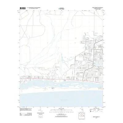
2012 Map of Mary Esther
USGS Topo · Published 2012About this map
Mary Esther and the neighboring settlement of Harris define the coastal corridor of the Florida Panhandle on this 2012 survey. The landscape is dominated by the strategic footprint of Hurlburt Field Airport and the intricate waterways of Santa Rosa Sound. This map documents a developed coastline where suburban street grids, including Page Bacon RD and Anchors ST NW, meet the natural features of Kohler Bayou and The Narrows. North of the coastal development, the terrain transitions into a drainage system of creeks and rivers, such as E Bay River and Alligator Cr. The presence of the Beal Cem provides a point of genealogical interest, while the barrier topography of Santa Rosa Island protects the inland sound from the open waters of the Gulf Of Mexico.
Find a feature on this map
131 named features on this map. Tap any name to fly to it.
Don’t see what you’re looking for? This feature index may not catch every label — zoom into the map to look around manually.
Map Details
Editions of this 2012 Mary Esther Map
This is the sole edition of this map. No revisions or reprints were ever made.
Other maps of this area

1921 · Holley
USGS Topo · 1:62,500

1934 · Holt
USGS Topo · 1:48,000

1934 · Harold
USGS Topo · 1:62,500

1936 · Holley
USGS Topo · 1:48,000

1937 · Holt
USGS Topo · 1:62,500

1937 · Harold
USGS Topo · 1:62,500

1938 · Mary Esther
USGS Topo · 1:62,500

1938 · Holley
USGS Topo · 1:62,500

1938 · Harold
USGS Topo · 1:62,500

1956 · Fort Walton Beach
USGS Topo · 1:62,500