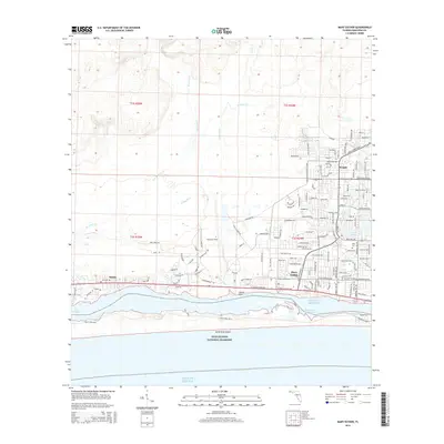
2015 Map of Mary Esther
USGS Topo · Published 2015About this map
Mary Esther and the neighboring community of Wright define the suburban and military landscape of coastal Florida along the Intracoastal Waterway in this mid-2010s survey. The map details the significant footprint of Hurlburt Field, which occupies a large central portion of the quadrangle north of the residential developments. To the south, the protected sands of the Gulf Islands National Seashore stretch across Santa Rosa Island, separated from the mainland by the passage known as The Narrows. This area is defined by its complex shoreline, where Kohler Bayou and Cinco Bayou reach into the mainland. The dense street networks of settlements like Harris are meticulously documented, alongside local landmarks like Beal Cem and geographic markers such as Lasater Point. The map provides a precise view of the interface between the Gulf of Mexico and the developed Emerald Coast.
Find a feature on this map
180 named features on this map. Tap any name to fly to it.
Don’t see what you’re looking for? This feature index may not catch every label — zoom into the map to look around manually.
Map Details
Editions of this 2015 Mary Esther Map
This is the sole edition of this map. No revisions or reprints were ever made.
Other maps of this area

1921 · Holley
USGS Topo · 1:62,500

1934 · Holt
USGS Topo · 1:48,000

1934 · Harold
USGS Topo · 1:62,500

1936 · Holley
USGS Topo · 1:48,000

1937 · Holt
USGS Topo · 1:62,500

1937 · Harold
USGS Topo · 1:62,500

1938 · Mary Esther
USGS Topo · 1:62,500

1938 · Holley
USGS Topo · 1:62,500

1938 · Harold
USGS Topo · 1:62,500

1956 · Fort Walton Beach
USGS Topo · 1:62,500