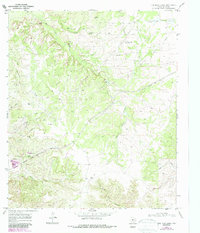
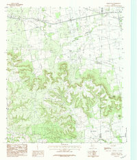
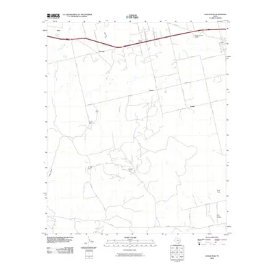
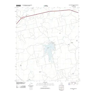
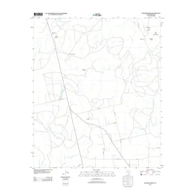
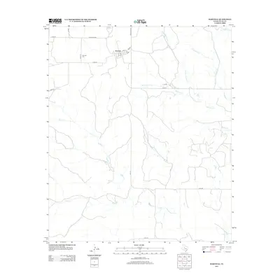
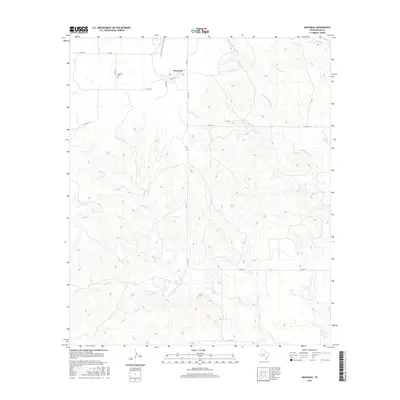
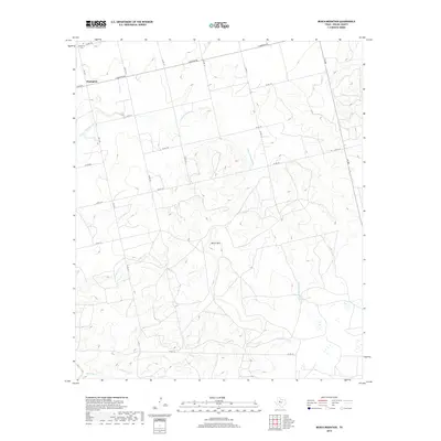
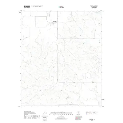
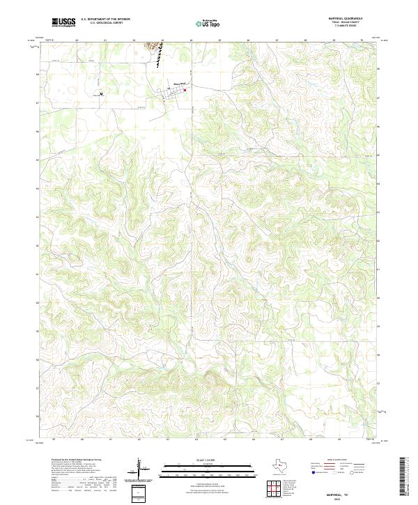
1969 Map of Maryneal
USGS Topo · Published 1972About this map
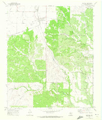
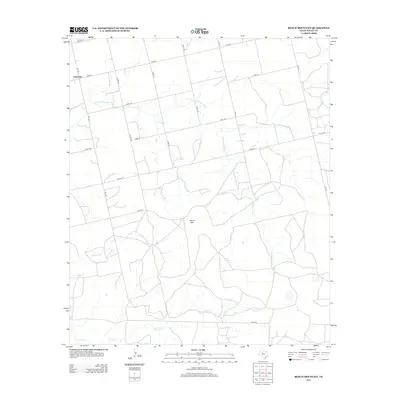
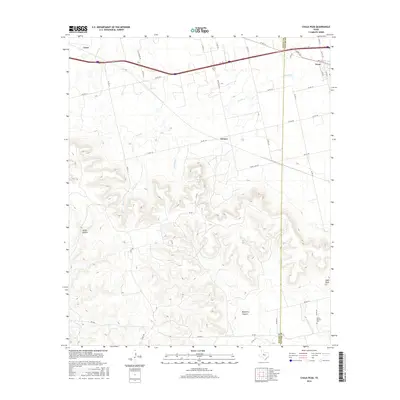
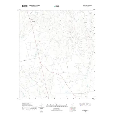
Maryneal serves as the central hub of this West Texas landscape, positioned at a junction of rail and road during the late 1960s. The settlement's infrastructure is closely tied to the Atchison Topeka and Santa Fe railroad, which bisects the quadrangle and supports local industrial activity including a Quarry and numerous Gravel Pits. To the west of the town site, the Maryneal Cem and a prominent Radio Tower mark the high ground above the drainage basins.
Find a feature on this map
15 named features on this map. Tap any name to fly to it.
Don’t see what you’re looking for? This feature index may not catch every label — zoom into the map to look around manually.
Map Details
Editions of this 1969 Maryneal Map
This is the sole edition of this map. No revisions or reprints were ever made.
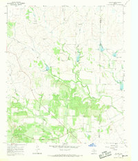
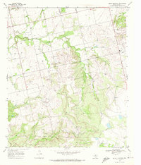
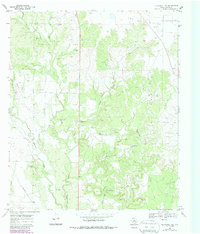
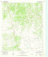
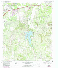
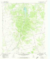
Historical Maps of Maryneal Through Time
60 maps found
1967 Hylton
Nolan County, TX
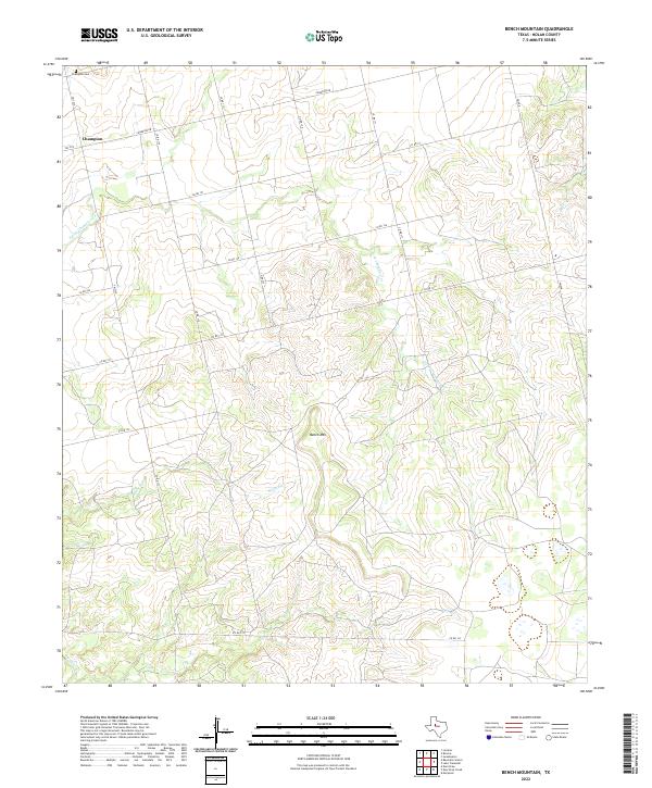
1969 Bench Mountain
Nolan County, TX
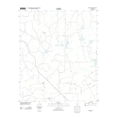
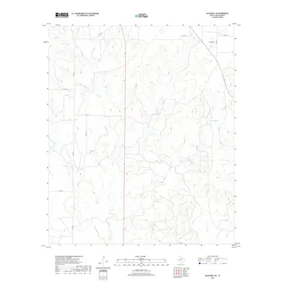
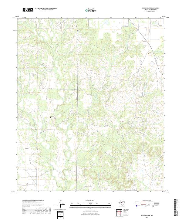
1969 Blackwell NE
Nolan County, TX
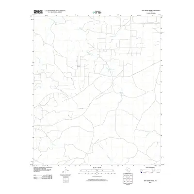
1969 Dew Drop Creek
Nolan County, TX
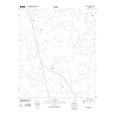
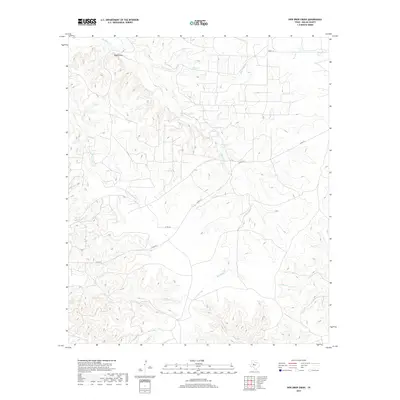
1969 Holder Creek
Nolan County, TX
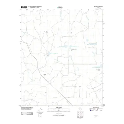
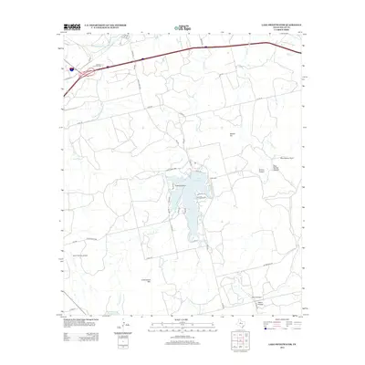
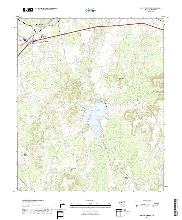
1969 Lake Sweetwater
Nolan County, TX
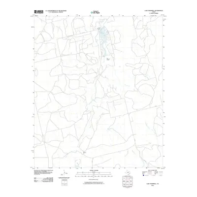
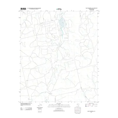
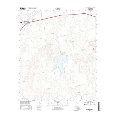
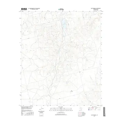
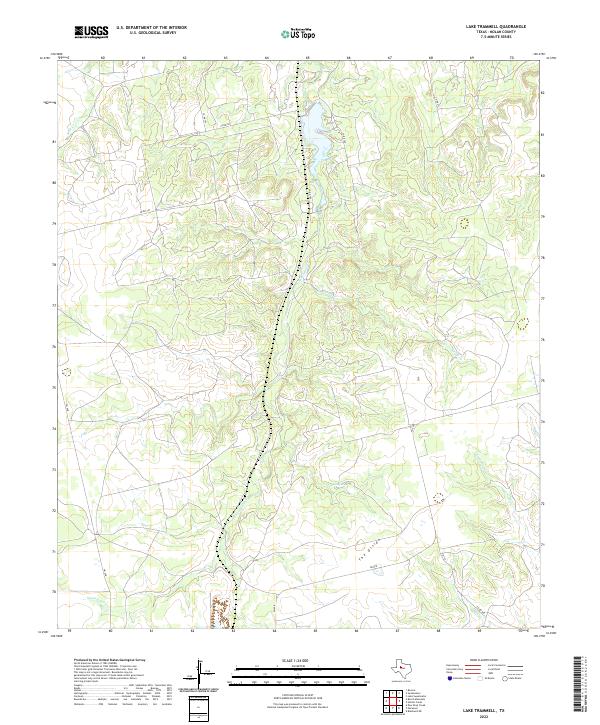
1969 Lake Trammell
Nolan County, TX
1969 Maryneal
Nolan County, TX
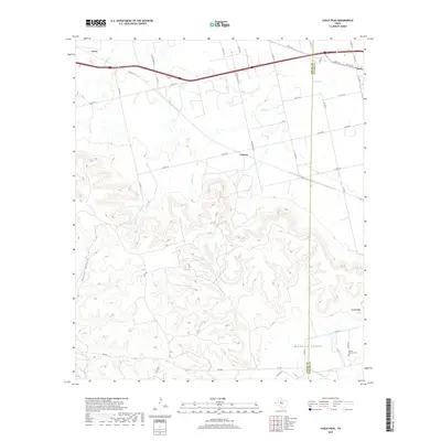
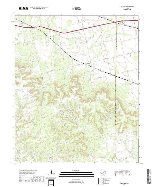
1984 Chalk Peak
Nolan County, TX
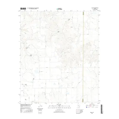
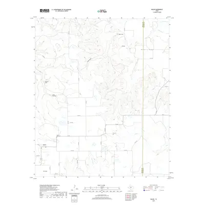
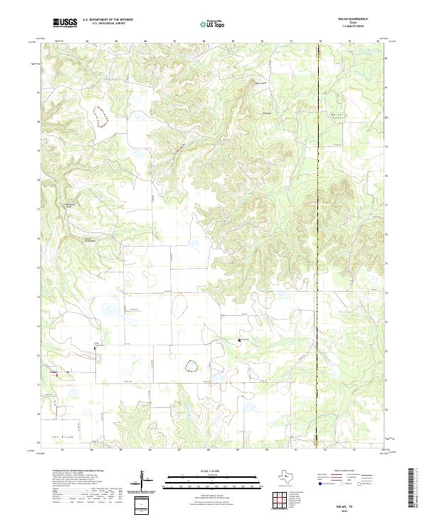
1984 Nolan
Nolan County, TX
2010 Bench Mountain
Nolan County, TX
2010 Blackwell NE
Nolan County, TX
2010 Chalk Peak
Nolan County, TX
2010 Dew Drop Creek
Nolan County, TX
2010 Holder Creek
Nolan County, TX
2010 Hylton
Nolan County, TX
2010 Lake Sweetwater
Nolan County, TX
2010 Lake Trammell
Nolan County, TX
2010 Maryneal
Nolan County, TX
2010 Nolan
Nolan County, TX
2012 Bench Mountain
Nolan County, TX
2012 Blackwell NE
Nolan County, TX
2012 Chalk Peak
Nolan County, TX
2012 Dew Drop Creek
Nolan County, TX
2012 Holder Creek
Nolan County, TX
2012 Hylton
Nolan County, TX
2012 Lake Sweetwater
Nolan County, TX
2012 Lake Trammell
Nolan County, TX
2012 Maryneal
Nolan County, TX
2012 Nolan
Nolan County, TX
2016 Bench Mountain
Nolan County, TX
2016 Blackwell NE
Nolan County, TX
2016 Chalk Peak
Nolan County, TX
2016 Dew Drop Creek
Nolan County, TX
2016 Holder Creek
Nolan County, TX
2016 Hylton
Nolan County, TX
2016 Lake Sweetwater
Nolan County, TX
2016 Lake Trammell
Nolan County, TX
2016 Maryneal
Nolan County, TX
2016 Nolan
Nolan County, TX
2019 Bench Mountain
Nolan County, TX
2019 Blackwell NE
Nolan County, TX
2019 Chalk Peak
Nolan County, TX
2019 Dew Drop Creek
Nolan County, TX
2019 Holder Creek
Nolan County, TX
2019 Hylton
Nolan County, TX
2019 Lake Sweetwater
Nolan County, TX
2019 Lake Trammell
Nolan County, TX
2019 Maryneal
Nolan County, TX
2019 Nolan
Nolan County, TX
2022 Bench Mountain
Nolan County, TX
2022 Blackwell NE
Nolan County, TX
2022 Chalk Peak
Nolan County, TX
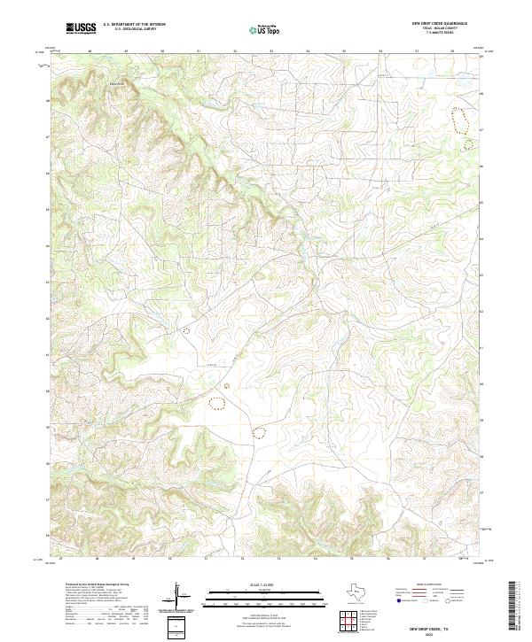
2022 Dew Drop Creek
Nolan County, TX
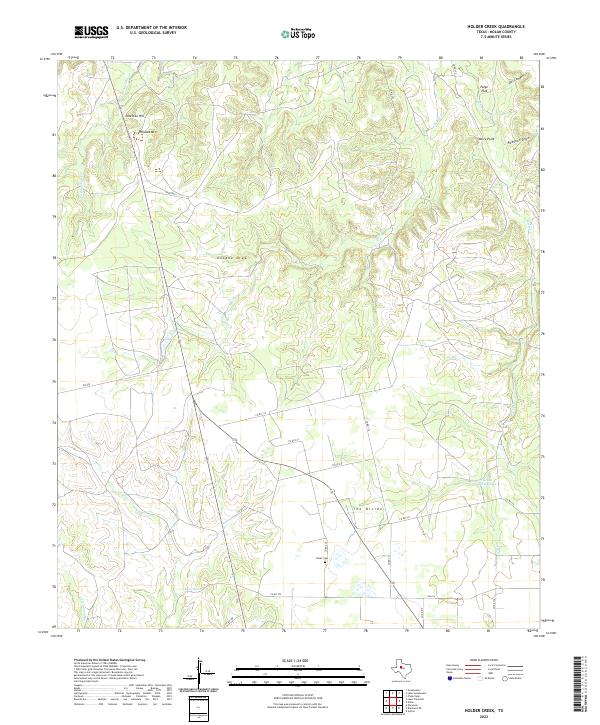
2022 Holder Creek
Nolan County, TX
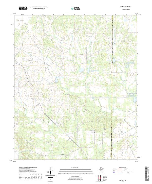
2022 Hylton
Nolan County, TX
2022 Lake Sweetwater
Nolan County, TX
2022 Lake Trammell
Nolan County, TX
2022 Maryneal
Nolan County, TX
2022 Nolan
Nolan County, TX