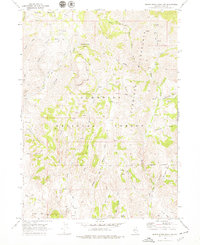
1968 Map of Marys River Basin NW
USGS Topo · Published 1979About this map
Prunty Mine and Slattery Mine sit on the western edge of this 1968 landscape, marking the industrial reach into the high country of Elko County. The area is defined by the headwaters of the Marys River, with its various branches and basins carved into the terrain of the Humboldt National Forest. A network of pack and jeep trails provides the only access through these high-altitude drainage systems, crossing features like the Seventysix Creek Pasture and the West Fork Marys River.
Find a feature on this map
33 named features on this map. Tap any name to fly to it.
Don’t see what you’re looking for? This feature index may not catch every label — zoom into the map to look around manually.
Map Details
Editions of this 1968 Marys River Basin NW Map
2 editions found
Other maps of this area

1935 · Charleston
USGS Topo · 1:48,000

1936 · Rowland
USGS Topo · 1:48,000

1940 · Rowland
USGS Topo · 1:62,500

1942 · Mt. Velma
USGS Topo · 1:62,500

1943 · Jarbidge
USGS Topo · 1:62,500

1945 · Jarbidge
USGS Topo · 1:62,500

1955 · Wells
USGS Topo · 1:250,000

1958 · Wells
USGS Topo · 1:250,000

1961 · Wells
USGS Topo · 1:250,000

1968 · Charleston Reservoir
USGS Topo · 1:24,000