
1912 Map of Marysville Buttes
USGS Topo · Published 1912About this map
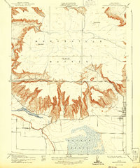
The dramatic volcanic spires of the Marysville Buttes rise abruptly from the surrounding flatlands of the Sacramento Valley in this 1912 survey. This area of Sutter County is defined by the contrast between the high peaks of North Butte, West Butte, and South Butte and the low-lying wetlands of the Sutter Basin. The map captures a pre-industrial rural landscape where local education was centered at the Slough School and regional transit relied on crossings like Long Bridge. The intricate contouring around the central peaks illustrates the complex drainage patterns that feed into Butte Slough, reflecting the area's natural hydrology before modern large-scale water management projects fully reshaped the valley floor. Settlement is concentrated in the small community of Sutter, while the surrounding terrain remains primarily defined by its unique geological topography.
Find a feature on this map
10 named features on this map. Tap any name to fly to it.
Don’t see what you’re looking for? This feature index may not catch every label — zoom into the map to look around manually.
Map Details
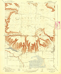
Editions of this 1912 Marysville Buttes Map
3 editions found
Other maps of this area

1888 · Marysville
USGS Topo · 1:125,000

1891 · Marysville
USGS Topo · 1:125,000

1894 · Marysville
USGS Topo · 1:125,000

1895 · Marysville
USGS Topo · 1:125,000

1911 · Sutter
USGS Topo · 1:31,680

1911 · Sanborn Slough
USGS Topo · 1:31,680

1911 · Grimes
USGS Topo · 1:31,680

1911 · Gilsizer Slough
USGS Topo · 1:31,680

1912 · Pennington
USGS Topo · 1:31,680

1912 · Meridian
USGS Topo · 1:31,680