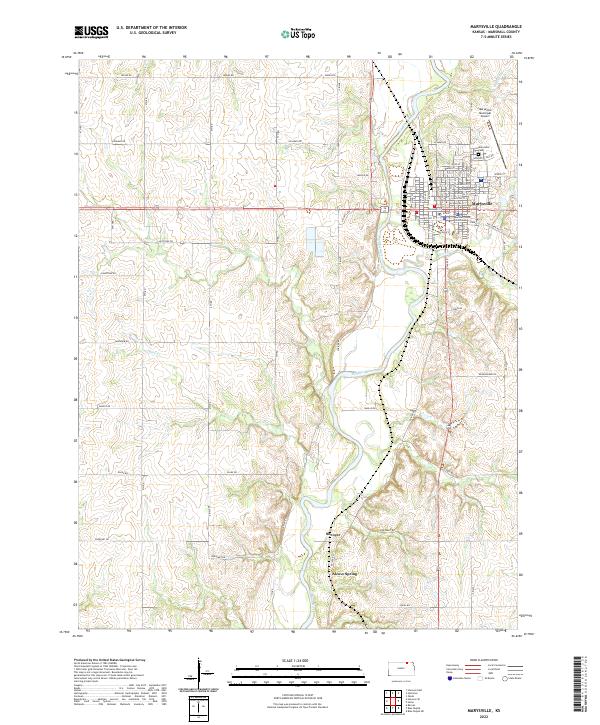
2022 Map of Marysville
USGS Topo · Published 2022About this map
Marysville serves as the regional hub for Marshall County, centered on the Marshall County Courthouse and a dense grid of streets including Broadway St and Elm St. The settlement is positioned along the east bank of the Big Blue River, where numerous tributaries such as Spring Cr and Rock Run converge. To the north, the Marysville Municipal Airport and Marysville Cem mark the town's expansion, while the southern landscape transitions into the smaller community of Shroyer.
Find a feature on this map
45 named features on this map. Tap any name to fly to it.
Don’t see what you’re looking for? This feature index may not catch every label — zoom into the map to look around manually.
Map Details
Editions of this 2022 Marysville Map
This is the sole edition of this map. No revisions or reprints were ever made.
Other maps of this area

1889 · Marysville
USGS Topo · 1:125,000

1894 · Marysville
USGS Topo · 1:125,000

1955 · Manhattan
USGS Topo · 1:250,000

1956 · Manhattan
USGS Topo · 1:250,000

1957 · Manhattan
USGS Topo · 1:250,000

1966 · Oketo
USGS Topo · 1:24,000

1966 · Marysville
USGS Topo · 1:24,000

1966 · Hanover SE
USGS Topo · 1:24,000
1966 · Herkimer
USGS Topo · 1:24,000

1966 · Home
USGS Topo · 1:24,000