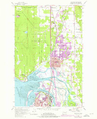
1956 Map of Marysville
USGS Topo · Published 1975About this map
The Tulalip Indian Reservation occupies the western half of this landscape, dominated by the massive Tulalip Storage Depot (Military Reservation) and its network of an Old Railroad Grade. To the east, the city of Marysville expanded significantly between the mid-1950s and the early 1970s, as evidenced by purple photorevision tints covering areas near Marysville High Sch and Liberty Sch. The geography is defined by the complex delta where the Snohomish River meets Port Gardner, creating a labyrinth of waterways including Ebey Slough, Steamboat Slough, and Union Slough.
Find a feature on this map
59 named features on this map. Tap any name to fly to it.
Don’t see what you’re looking for? This feature index may not catch every label — zoom into the map to look around manually.
Map Details
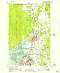
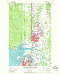
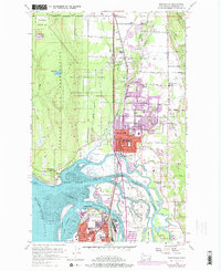
Editions of this 1956 Marysville Map
4 editions found
Other maps of this area

1895 · Snohomish
USGS Topo · 1:125,000

1897 · Seattle
USGS Topo · 1:125,000

1911 · Mount Vernon
USGS Topo · 1:125,000

1941 · Marysville
USGS Topo · 1:62,500

1942 · Edmonds
USGS Topo · 1:62,500

1943 · Marysville
USGS Topo · 1:62,500

1943 · Stanwood
USGS Topo · 1:62,500

1944 · Everett
USGS Topo · 1:62,500
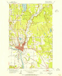
1953 · Snohomish
USGS Topo · 1:24,000
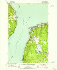
1953 · Mukilteo
USGS Topo · 1:24,000