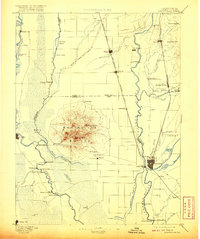
1952 Map of Marysville
USGS Topo · Published 1983About this map
Marysville and Yuba City anchor this mid-century survey at the confluence of the Feather River and Yuba River. The landscape reveals an intricate network of water management and agricultural infrastructure, including the Sutter Bypass, Tisdale Bypass, and numerous sloughs like Gilsizer Slough and Snake Slough. Rural life is marked by a high density of local institutions, from Sutter High Sch and Franklin School to the Sutter Cem and Barry Union Sch. The area south of the urban centers shows the growth of settlements like Olivehurst and Arboga near the Yuba County Airport. Transport is defined by the Southern Pacific and Sacramento Northern railroads, which linked the orchards and fields of Sutter, Lomo, and Ostrom to the wider California economy. To the west, the rise of the Sutter Buttes provides a stark contrast to the low-lying river lands and the Sutter Nat Wildlife Refuge.
Find a feature on this map
103 named features on this map. Tap any name to fly to it.
Don’t see what you’re looking for? This feature index may not catch every label — zoom into the map to look around manually.
Map Details
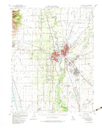
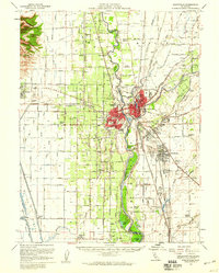
Editions of this 1952 Marysville Map
3 editions found
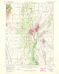
Historical Maps of Yuba City Through Time
5 maps found