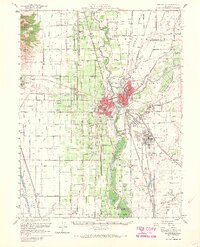
1952 Map of Marysville
USGS Topo · Published 1968About this map
The Feather River and Yuba River confluence anchors this mid-century portrait of a region defined by its water management and agricultural grid. In Yuba City and Marysville, the urban footprint is tightly bounded by levee systems and the branching lines of the Southern Pacific and Sacramento Northern railroads. This era shows the developed valley floor just before the 1955 floods prompted further levee engineering.
Find a feature on this map
83 named features on this map. Tap any name to fly to it.
Don’t see what you’re looking for? This feature index may not catch every label — zoom into the map to look around manually.
Map Details
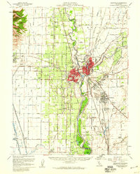
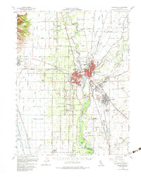
Editions of this 1952 Marysville Map
3 editions found
Other maps of this area

1888 · Marysville
USGS Topo · 1:125,000

1888 · Smartsville
USGS Topo · 1:125,000

1891 · Sacramento
USGS Topo · 1:125,000

1891 · Marysville
USGS Topo · 1:125,000

1891 · Smartsville
USGS Topo · 1:125,000

1892 · Sacramento
USGS Topo · 1:125,000

1892 · Smartsville
USGS Topo · 1:125,000

1893 · Sacramento
USGS Topo · 1:125,000

1894 · Smartsville
USGS Topo · 1:125,000

1894 · Marysville
USGS Topo · 1:125,000