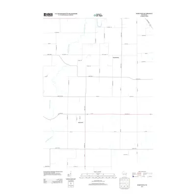
2013 Map of Marytown
USGS Topo · Published 2013About this map
The S Br Manitowoc River meanders through this agricultural landscape in Calumet County, defining the drainage patterns for the small unincorporated communities of Marytown and Charlesburg. The settlement at Marytown is concentrated at the intersection of Wi-149 and County Hwy-G, while Charlesburg lies to the northeast along Saint Charles Rd. The mapping reflects a traditional Wisconsin dairy and farming district, characterized by a dense grid of named rural roads and large agricultural operations like Toronto Farms. Transport across the area is anchored by State Road 57 in the northeast corner and a network of county highways that connect these tight-knit hamlets. The landscape remains primarily defined by the river's winding path and the long-established property boundaries that have shaped this portion of Brothertown for generations.
Find a feature on this map
41 named features on this map. Tap any name to fly to it.
Don’t see what you’re looking for? This feature index may not catch every label — zoom into the map to look around manually.
Map Details
Editions of this 2013 Marytown Map
This is the sole edition of this map. No revisions or reprints were ever made.
Other maps of this area

1910 · Fond du Lac
USGS Topo · 1:62,500

1911 · Neenah
USGS Topo · 1:62,500

1954 · Chilton
USGS Topo · 1:62,500

1954 · Kiel
USGS Topo · 1:62,500

1955 · Neenah
USGS Topo · 1:62,500

1955 · Fond Du Lac
USGS Topo · 1:62,500

1955 · Green Bay
USGS Topo · 1:250,000

1957 · Madison
USGS Topo · 1:250,000

1960 · Madison
USGS Topo · 1:250,000

1974 · St. Cloud
USGS Topo · 1:24,000