2021 Map of Maryville East
USGS Topo · Published 2021About this map
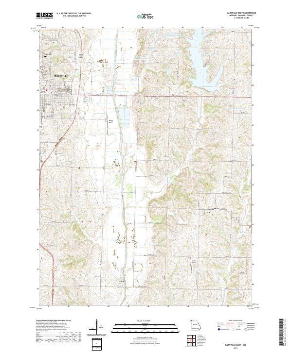
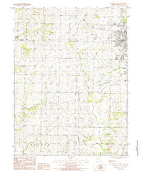
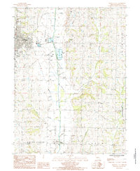
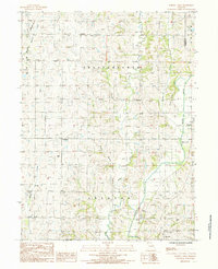
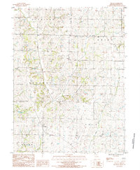
Maryville serves as the focal point of this Nodaway County survey, with the Nodaway County Courthouse anchoring the historic downtown grid. The landscape to the east is defined by the massive Mozingo Lake and its surrounding recreational basin, a contrast to the agricultural patterns and tributary networks of the One Hundred and Two River valley. Small outlying settlements like Bedison and Arkoe provide important touchpoints for family historians tracing rural residency patterns in the early 21st century.
Find a feature on this map
75 named features on this map. Tap any name to fly to it.
Don’t see what you’re looking for? This feature index may not catch every label — zoom into the map to look around manually.
Map Details
Editions of this 2021 Maryville East Map
This is the sole edition of this map. No revisions or reprints were ever made.
Historical Maps of Polk Township Through Time
15 maps found
1980 Hopkins SW
Nodaway County, MO
1981 Skidmore NW
Nodaway County, MO
1984 Bolckow NW
Nodaway County, MO
1984 Maryville West
Nodaway County, MO
1985 Maryville East
Nodaway County, MO
1985 Parnell West
Nodaway County, MO
1985 Wilcox
Nodaway County, MO
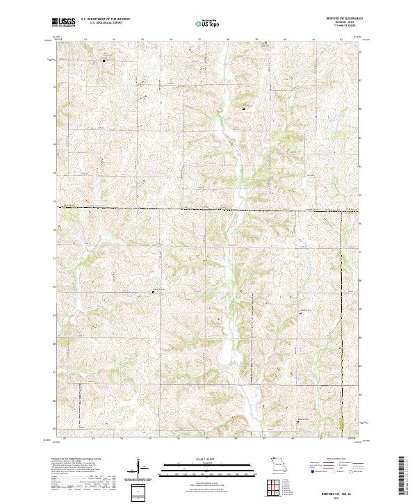
2021 Bedford SW
Nodaway County, MO
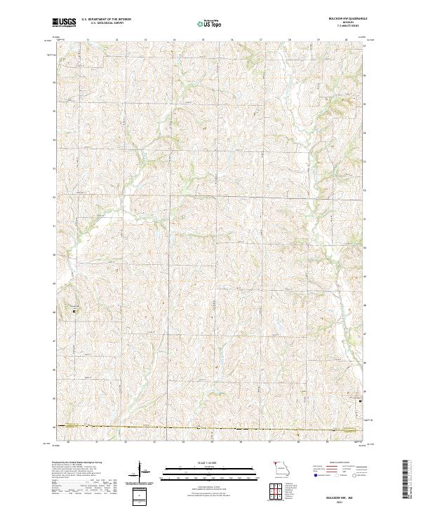
2021 Bolckow NW
Nodaway County, MO
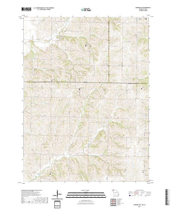
2021 Hopkins SW
Nodaway County, MO
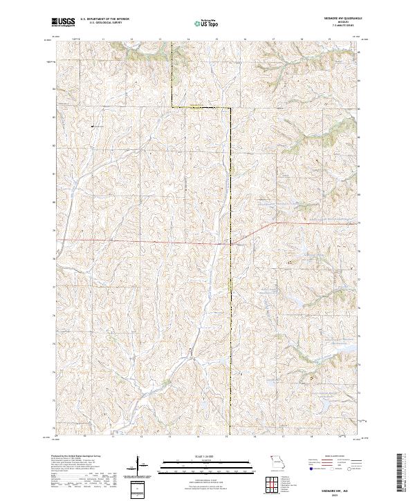
2021 Maryville East
Nodaway County, MO
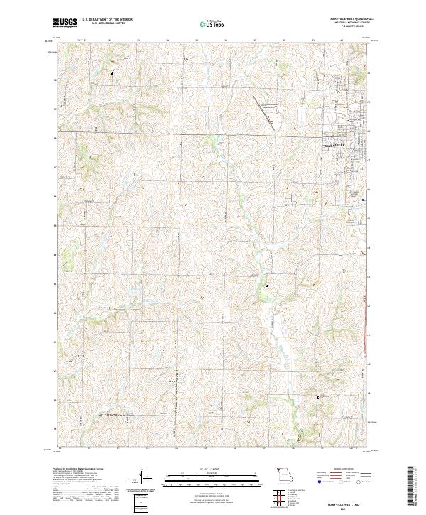
2021 Maryville West
Nodaway County, MO
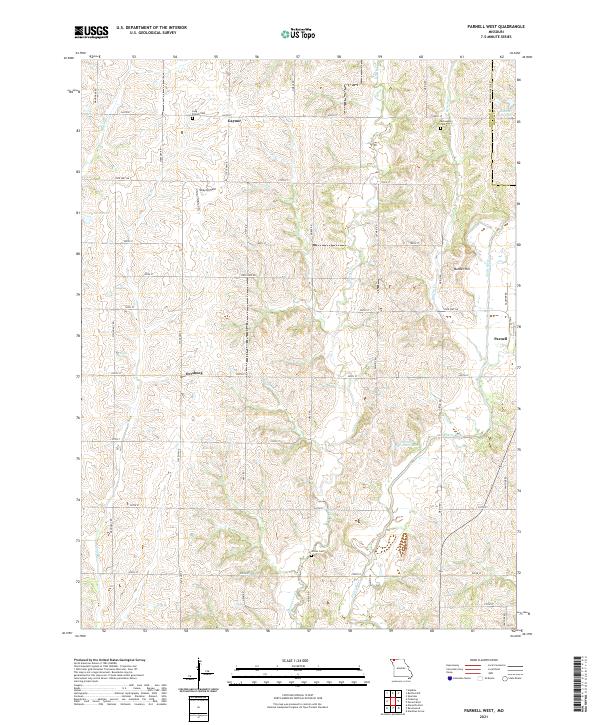
2021 Parnell West
Nodaway County, MO
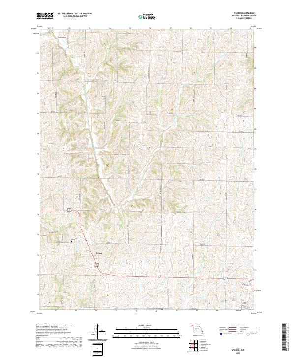
2021 Wilcox
Nodaway County, MO
2023 Skidmore NW
Nodaway County, MO
Featured Locations
- Jackson Township, MO
- Polk Township, MO
- White Cloud Township, MO
- Arkoe, White Cloud Township
- Maryville, Polk Township