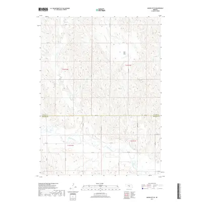
2017 Map of Mason City SE
USGS Topo · Published 2017About this map
The South Loup River winds through the southern portion of this landscape, defining the transition between the rolling hills of the north and the river valley below. Straddling the border of Custer and Buffalo Counties, the area is characterized by an intricate drainage network where Elk Cr and Black Hill Cr carve through the terrain. A notable geological feature, the Black Hill Basin, sits in the northeastern reaches, while smaller tributaries like Stoddard Cr and Otter Cr feed the larger river system. The human footprint is marked by a precise grid of rural roads, including Cumro Rd, Elk Creek Rd, and Comanche Rd, which provide access across the high ground between these seasonal watercourses.
Find a feature on this map
29 named features on this map. Tap any name to fly to it.
Don’t see what you’re looking for? This feature index may not catch every label — zoom into the map to look around manually.
Map Details
Editions of this 2017 Mason City SE Map
This is the sole edition of this map. No revisions or reprints were ever made.
Other maps of this area

1896 · Kearney
USGS Topo · 1:125,000

1951 · Litchfield SW
USGS Topo · 1:24,000

1951 · Mason City SW
USGS Topo · 1:24,000

1951 · Mason City NW
USGS Topo · 1:24,000

1951 · Mason City
USGS Topo · 1:24,000

1951 · Mason City SE
USGS Topo · 1:24,000

1951 · Litchfield
USGS Topo · 1:24,000

1955 · Broken Bow
USGS Topo · 1:250,000

1955 · Grand Island
USGS Topo · 1:250,000

1956 · Broken Bow
USGS Topo · 1:250,000