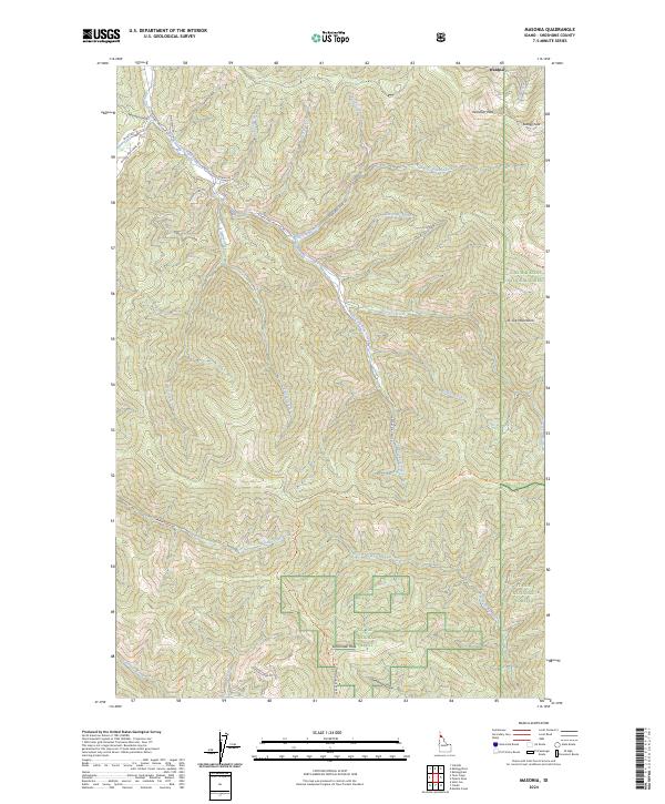
2024 Map of Masonia
USGS Topo · Published 2024About this map
Wardner sits at the northern edge of this high-elevation terrain, marking a historic point of entry into the Idaho mountains near the divide between the Coeur d'Alene National Forest and St Joe National Forest. The landscape is defined by its deep drainages and prominent summits, including Wardner Peak and Kellogg Peak in the north, and Lemonade Peak further south. The drainage network is complex, with East Fork Pine Creek and its many tributaries like Nabob Creek and Denver Creek carving the valleys. Modern infrastructure is limited to forest routes like Burma Rd and W Fork Pine Creek Rd, alongside recreational paths such as the St Joe Divide National Recreation Trail. This map provides a look at the contemporary interface of public lands and the steep, forested St Joe Mountains.
Find a feature on this map
43 named features on this map. Tap any name to fly to it.
Don’t see what you’re looking for? This feature index may not catch every label — zoom into the map to look around manually.
Map Details
Editions of this 2024 Masonia Map
This is the sole edition of this map. No revisions or reprints were ever made.
Other maps of this area

1901 · Coeur D'Alene District
USGS Topo · 1:62,500

1903 · Coeur D'Alene District
USGS Topo · 1:62,500

1906 · Coeur D'Alene District
USGS Topo · 1:62,500

1909 · Cataldo
USGS Topo · 1:125,000

1911 · Cataldo
USGS Topo · 1:125,000

1950 · Twin Crags
USGS Topo · 1:24,000

1952 · Twin Crags
USGS Topo · 1:24,000

1955 · Spokane
USGS Topo · 1:250,000

1957 · Kingston
USGS Topo · 1:62,500

1957 · Kellogg
USGS Topo · 1:62,500