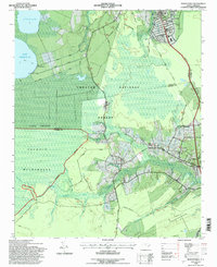
1994 Map of Masontown
USGS Topo · Published 1997About this map
Lake Simon Ellis and Little Lake dominate the northern landscape of this coastal North Carolina region, where the Croatan National Forest preserves a unique wetland ecosystem. The map reveals an intricate network of drainage efforts, characterized by the North Canal, Middle Canal, and South Canal that cut through the Pocosin terrain. These man-made channels contrast with the natural meandering of the Newport River and its numerous tributaries like Milliss Swamp and Southwest Prong.
Find a feature on this map
46 named features on this map. Tap any name to fly to it.
Don’t see what you’re looking for? This feature index may not catch every label — zoom into the map to look around manually.
Map Details
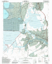
Editions of this 1994 Masontown Map
2 editions found
Other maps of this area

1942 · Maysville
USGS Topo · 1:62,500

1942 · Swansboro
USGS Topo · 1:62,500

1948 · Maysville
USGS Topo · 1:62,500

1948 · Swansboro
USGS Topo · 1:62,500

1949 · Havelock
USGS Topo · 1:24,000

1949 · Newport
USGS Topo · 1:24,000

1949 · Salter Path
USGS Topo · 1:24,000

1949 · Mansfield
USGS Topo · 1:24,000

1949 · Cherry Point
USGS Topo · 1:24,000

1949 · Masontown
USGS Topo · 1:24,000