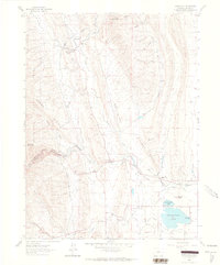
1962 Map of Masonville
USGS Topo · Published 1964About this map
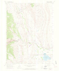
The small settlement of Masonville serves as the focal point for this Larimer County landscape, where the high plains meet the eastern foothills of the Rockies. Life in the early 1960s centered around the Masonville Post Office and the Buckhorn Community Ch, while the Big Thompson Sch anchored the community further south. The map documents an intricate water management system essential for local agriculture and municipal needs, featuring the Big Thompson River winding through the dramatic canyon of The Narrows. Numerous irrigation works, including the Louden Ditch and the Charles Hansen Feeder Canal, trace the contours of the land.
Find a feature on this map
38 named features on this map. Tap any name to fly to it.
Don’t see what you’re looking for? This feature index may not catch every label — zoom into the map to look around manually.
Map Details
Editions of this 1962 Masonville Map
6 editions found
Other maps of this area

1905 · Mount Olympus
USGS Topo · 1:62,500

1906 · Loveland
USGS Topo · 1:62,500

1906 · Fort Collins
USGS Topo · 1:62,500

1907 · Mount Olympus
USGS Topo · 1:62,500

1907 · Livermore
USGS Topo · 1:125,000

1908 · Loveland
USGS Topo · 1:62,500

1908 · Fort Collins
USGS Topo · 1:62,500

1909 · Livermore
USGS Topo · 1:125,000

1954 · Greeley
USGS Topo · 1:250,000

1957 · Greeley
USGS Topo · 1:250,000