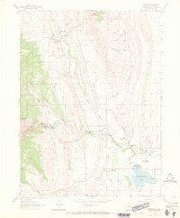
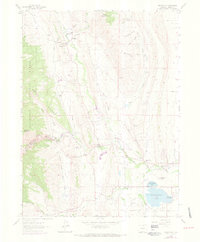
1962 Map of Masonville
USGS Topo · Published 1969About this map
Masonville stands at the intersection of Buckhorn Creek and Redstone Creek, serving as a focal point for this rural Colorado landscape in the early 1960s. The map captures the community's essential social hubs, including the Masonville Post Office and the Buckhorn Community Ch. The surrounding foothills are marked by numerous quarries, suggesting a landscape defined by both ranching and stone extraction.
Find a feature on this map
29 named features on this map. Tap any name to fly to it.
Don’t see what you’re looking for? This feature index may not catch every label — zoom into the map to look around manually.
Map Details
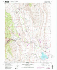
Editions of this 1962 Masonville Map
6 editions found
Other maps of this area

1905 · Mount Olympus
USGS Topo · 1:62,500

1906 · Loveland
USGS Topo · 1:62,500

1906 · Fort Collins
USGS Topo · 1:62,500

1907 · Mount Olympus
USGS Topo · 1:62,500

1907 · Livermore
USGS Topo · 1:125,000

1908 · Loveland
USGS Topo · 1:62,500

1908 · Fort Collins
USGS Topo · 1:62,500

1909 · Livermore
USGS Topo · 1:125,000

1954 · Greeley
USGS Topo · 1:250,000

1957 · Greeley
USGS Topo · 1:250,000