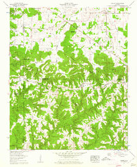
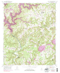
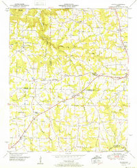
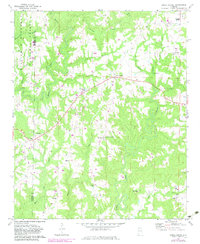
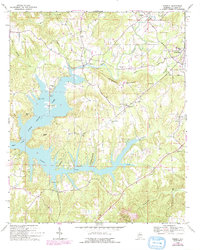
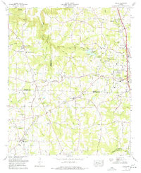
1960 Map of Massey
USGS Topo · Published 1961This historical map portrays the area of Massey in 1960, primarily covering Cullman County as well as portions of Lawrence County, Morgan County, and Winston County. Featuring a scale of 1:24000, this map provides a highly detailed snapshot of the terrain, roads, buildings, counties, and historical landmarks in the Massey region at the time. Published in 1961, it is one of 4 known editions of this map due to revisions or reprints.
Find a feature on this map
62 named features on this map. Tap any name to fly to it.
Don’t see what you’re looking for? This feature index may not catch every label — zoom into the map to look around manually.
Map Details
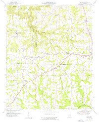
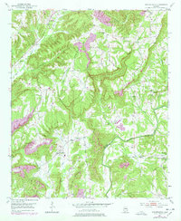
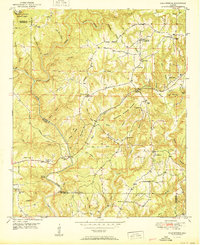
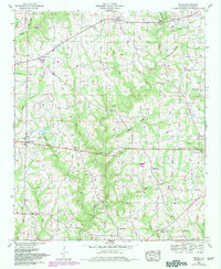
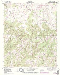
Editions of this 1960 Massey Map
4 editions found
Historical Maps of Camp Ground Through Time
18 maps found

1936 Hulaco
Cullman County, AL
1936 Mc Kendry
Cullman County, AL
1949 Cold Springs
Cullman County, AL
1949 Hulaco
Cullman County, AL
1951 Arkadelphia
Cullman County, AL
1951 Cold Springs
Cullman County, AL
1952 Hulaco
Cullman County, AL
1958 Simcoe
Cullman County, AL
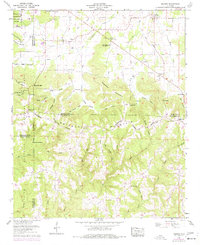
1960 Massey
Cullman County, AL
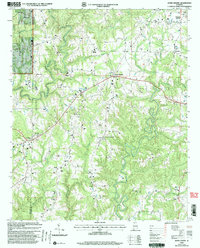
1969 Crane Hill
Cullman County, AL
1969 Jones Chapel
Cullman County, AL
1969 Trimble
Cullman County, AL
1975 Arkadelphia
Cullman County, AL
1975 Hulaco
Cullman County, AL
1976 Hulaco
Cullman County, AL
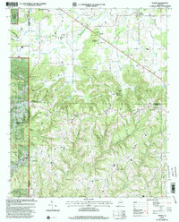
2000 Crane Hill
Cullman County, AL
2000 Jones Chapel
Cullman County, AL
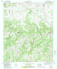
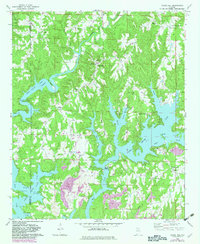
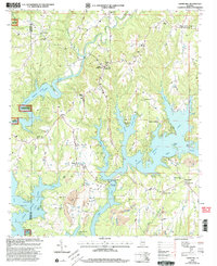
2000 Massey
Cullman County, AL