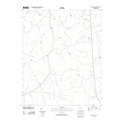
2010 Map of Masseyville
USGS Topo · Published 2010About this map
McNairy Post Office stands at the eastern edge of this Tennessee landscape, a rural territory defined by the winding paths of Little Hatchie Creek and Sugar Creek. The terrain is marked by a series of family-named peaks and ridges, including Halloway Hill, Crown Point Hill, and Laurel Hill, which rise above the agricultural bottomlands such as Thomas Bottom. This survey documents a pattern of decentralized settlement typical of the region, where community life centers around numerous family and church burial grounds that dot the hillsides.
Find a feature on this map
85 named features on this map. Tap any name to fly to it.
Don’t see what you’re looking for? This feature index may not catch every label — zoom into the map to look around manually.
Map Details
Editions of this 2010 Masseyville Map
This is the sole edition of this map. No revisions or reprints were ever made.
Other maps of this area

1936 · Purdy
USGS Topo · 1:24,000

1936 · Mt. Peter
USGS Topo · 1:24,000

1949 · Mt. Peter
USGS Topo · 1:24,000

1949 · Purdy
USGS Topo · 1:24,000

1950 · Hornsby
USGS Topo · 1:24,000

1951 · Hornsby
USGS Topo · 1:24,000

1951 · Rose Creek
USGS Topo · 1:24,000

1956 · Blytheville
USGS Topo · 1:250,000

1959 · Blytheville
USGS Topo · 1:250,000

1961 · Medon
USGS Topo · 1:24,000