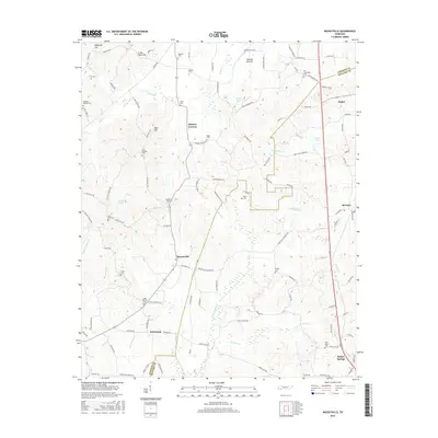
2016 Map of Masseyville
USGS Topo · Published 2016About this map
Bethel Springs and the surrounding rural landscape of the Chester and McNairy county line are defined by a network of family-named landmarks and small creek drainages. The area is characterized by scattered settlements such as Masseyville, Hickory Corners, and Finger, which are connected by a web of local routes like Old Friendship Rd and Laurel Hill Finger Rd. The terrain transitions from the elevations of Crown Point Hill and Rose Hill down to the fertile lowlands of Thomas Bottom and the banks of the Little Hatchie Creek. Genealogists will find a significant concentration of burial sites, including the Old Friendship Cem, Haltoms Chapel Cem, and Pine Bluff Cem, which anchor the local history of these unincorporated communities and farmsteads near Robertson.
Find a feature on this map
139 named features on this map. Tap any name to fly to it.
Don’t see what you’re looking for? This feature index may not catch every label — zoom into the map to look around manually.
Map Details
Editions of this 2016 Masseyville Map
This is the sole edition of this map. No revisions or reprints were ever made.
Other maps of this area

1936 · Purdy
USGS Topo · 1:24,000

1936 · Mt. Peter
USGS Topo · 1:24,000

1949 · Mt. Peter
USGS Topo · 1:24,000

1949 · Purdy
USGS Topo · 1:24,000

1950 · Hornsby
USGS Topo · 1:24,000

1951 · Hornsby
USGS Topo · 1:24,000

1951 · Rose Creek
USGS Topo · 1:24,000

1956 · Blytheville
USGS Topo · 1:250,000

1959 · Blytheville
USGS Topo · 1:250,000

1961 · Medon
USGS Topo · 1:24,000