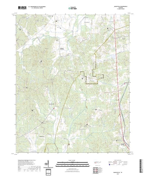
2022 Map of Masseyville
USGS Topo · Published 2022About this map
Hickory Corners and Masseyville anchor this survey of the Tennessee landscape where the Chester Co and McNairy Co border meets. The terrain is defined by a dense network of headwaters, including the Little Hatchie Cr and Sugar Cr, which drain through elevations like Crown Point Hill and Rose Hill. This 2022 dataset reveals a deep-rooted rural infrastructure, notable for its high concentration of small family and community burial grounds such as Haltoms Chapel Cem, Weaver Cem, and Roger Cem. The eastern edge of the map shows the transition toward more established settlements at Finger and Bethel Springs, while the interior remains a mosaic of timbered bottoms and winding secondary routes like Old Sobby Rd and Buena Vista Rd.
Find a feature on this map
111 named features on this map. Tap any name to fly to it.
Don’t see what you’re looking for? This feature index may not catch every label — zoom into the map to look around manually.
Map Details
Editions of this 2022 Masseyville Map
This is the sole edition of this map. No revisions or reprints were ever made.
Other maps of this area

1936 · Purdy
USGS Topo · 1:24,000

1936 · Mt. Peter
USGS Topo · 1:24,000

1949 · Mt. Peter
USGS Topo · 1:24,000

1949 · Purdy
USGS Topo · 1:24,000

1950 · Hornsby
USGS Topo · 1:24,000

1951 · Hornsby
USGS Topo · 1:24,000

1951 · Rose Creek
USGS Topo · 1:24,000

1956 · Blytheville
USGS Topo · 1:250,000

1959 · Blytheville
USGS Topo · 1:250,000

1961 · Medon
USGS Topo · 1:24,000