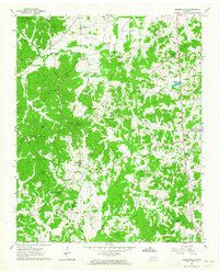
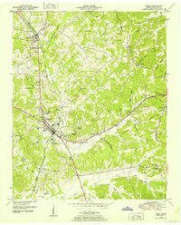
1961 Map of Masseyville
USGS Topo · Published 1964About this map
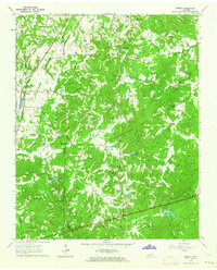
Chickasaw State Park and the wooded elevations of Rose Hill define the northern landscape of this region, where the Hatchie River and its numerous tributaries like Little Sugar Creek and Hogwallow Creek create a complex drainage pattern. The settlement at Masseyville serves as a central point, situated near Mitchell Chapel and the Refuge Ch, while the Gulf Mobile and Ohio railroad corridor provides a vital industrial link through the eastern portion of the quadrangle near McNairy. This 1961 field-checked survey reveals a rural landscape deeply rooted in communal institutions, evidenced by a high density of family-named cemeteries and rural school sites. Noted features like Hickory Corners and Thomas Bottom illustrate the early 1960s balance between small-scale agriculture and the natural timberlands of the Tennessee hills.
Find a feature on this map
47 named features on this map. Tap any name to fly to it.
Don’t see what you’re looking for? This feature index may not catch every label — zoom into the map to look around manually.
Map Details
Editions of this 1961 Masseyville Map
This is the sole edition of this map. No revisions or reprints were ever made.
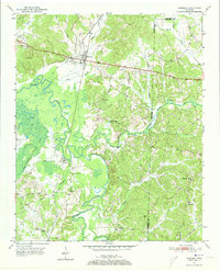
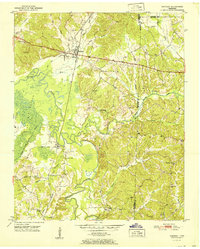
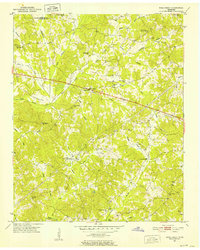
Other maps of this area
1936 · Purdy
USGS Topo · 1:24,000
1936 · Mt. Peter
USGS Topo · 1:24,000
1949 · Mt. Peter
USGS Topo · 1:24,000
1949 · Purdy
USGS Topo · 1:24,000
1950 · Hornsby
USGS Topo · 1:24,000
1951 · Hornsby
USGS Topo · 1:24,000
1951 · Rose Creek
USGS Topo · 1:24,000

1956 · Blytheville
USGS Topo · 1:250,000

1959 · Blytheville
USGS Topo · 1:250,000
1961 · Medon
USGS Topo · 1:24,000