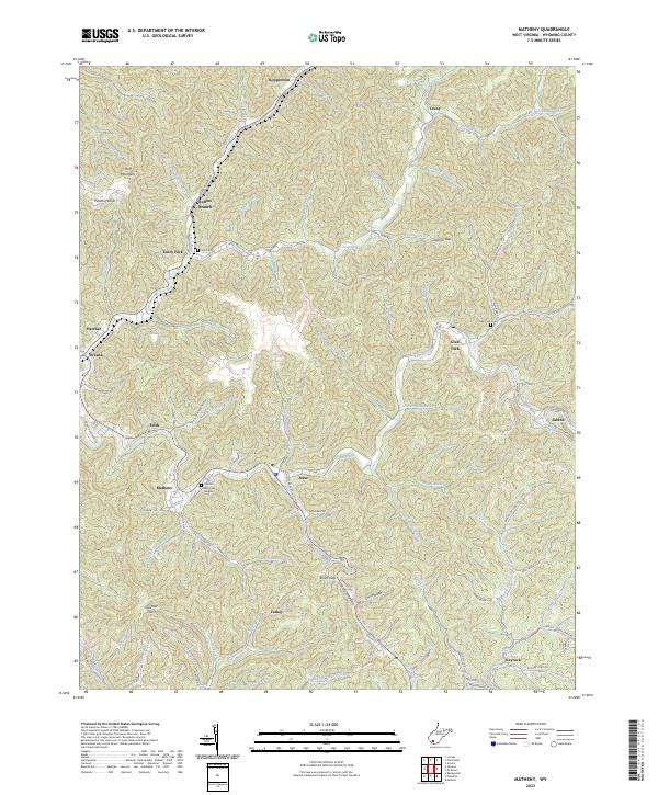
2023 Map of Matheny
USGS Topo · Published 2023About this map
Clear Fork and its numerous tributaries, including Toney Fork and Laurel Fork, carve a complex drainage pattern through this part of Wyoming County. The settlement of Matheny serves as a central point along Co Hwy 10/8, surrounded by smaller communities such as Jesse, Edith, and Oceana. This landscape is defined by its narrow valley floors where residential development is concentrated, contrasted against the high, timbered ridges of Huff Mountain and Panther Knob. Local history and genealogy researchers will find several well-documented burial sites throughout the area, including Cook Cem near Rollins Branch and the large Hillcrest Memorial Gardens. The map also illustrates the importance of the secondary road network, with routes like Craney Rd and Jesse Back Rd connecting isolated hollows like Cow Hollow to the larger coal-country settlements of Kopperston and Sabine.
Find a feature on this map
95 named features on this map. Tap any name to fly to it.
Don’t see what you’re looking for? This feature index may not catch every label — zoom into the map to look around manually.
Map Details
Editions of this 2023 Matheny Map
This is the sole edition of this map. No revisions or reprints were ever made.
Other maps of this area

1891 · Oceana
USGS Topo · 1:125,000

1891 · Raleigh
USGS Topo · 1:125,000

1893 · Oceana
USGS Topo · 1:125,000

1897 · Raleigh
USGS Topo · 1:125,000

1898 · Oceana
USGS Topo · 1:125,000

1902 · Raleigh
USGS Topo · 1:125,000

1910 · Pineville
USGS Topo · 1:48,000

1910 · Bald Knob
USGS Topo · 1:48,000

1911 · Marshes
USGS Topo · 1:48,000

1912 · Mullens
USGS Topo · 1:62,500