2022 Map of Mathews
USGS Topo · Published 2022About this map
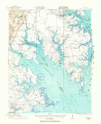
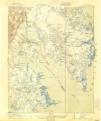
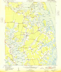
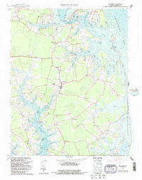
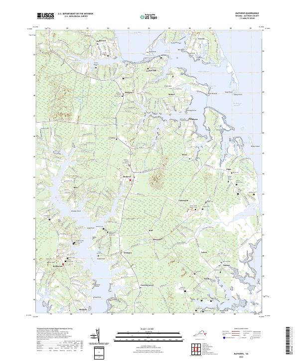
Mathews serves as the focal point of this coastal Virginia landscape, where the Mathews County Courthouse anchors a community deeply connected to the surrounding waterways. The geography is defined by intricate peninsulas and necks, such as Lilleys Neck and Potato Neck, reaching into the Chesapeake Bay and Milford Haven. The settlement pattern reflects centuries of maritime and agricultural history, with hamlets like Cricket Hill, Port Haywood, and Bohannon linked by a network of local routes including Buckley Hall Rd.
Find a feature on this map
86 named features on this map. Tap any name to fly to it.
Don’t see what you’re looking for? This feature index may not catch every label — zoom into the map to look around manually.
Map Details
Editions of this 2022 Mathews Map
This is the sole edition of this map. No revisions or reprints were ever made.
Historical Maps of Hudgins Through Time
5 maps found