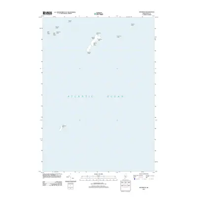
2011 Map of Matinicus
USGS Topo · Published 2011About this map
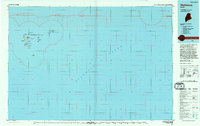
Wooden Ball Island and the surrounding outcrop formations anchor this 2011 maritime survey of the outer reaches of Penobscot Bay. The landscape is defined by its isolation within the Atlantic Ocean, featuring prominent landforms such as Stephens Head and the sandy stretch of Medrick Beach. To the south, the lonely outpost of Matinicus Rock stands as a final sentinel before the open sea. The map reveals a complex underwater and tidal topography, noted through numerous navigational hazards including Greens Ledge, Mackerel Ledge, and Frenchman Ledge. This survey is particularly valuable for understanding the rugged coastal fringes of Maine, where small islands and ledges provided essential, albeit dangerous, landmarks for generations of local mariners and fishing fleets operating far from the mainland.
Find a feature on this map
14 named features on this map. Tap any name to fly to it.
Don’t see what you’re looking for? This feature index may not catch every label — zoom into the map to look around manually.
Map Details
Editions of this 2011 Matinicus Map
This is the sole edition of this map. No revisions or reprints were ever made.
Other maps of this area

1906 · Matinicus
USGS Topo · 1:62,500

1948 · Bath
USGS Topo · 1:250,000
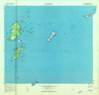
1953 · Matinicus
USGS Topo · 1:24,000

1956 · Bath
USGS Topo · 1:250,000

1957 · Bath
USGS Topo · 1:250,000

1958 · Bath
USGS Topo · 1:250,000

1963 · Bath
USGS Topo · 1:250,000
1965 · Bath
USGS Topo · 1:250,000
1985 · Matinicus
USGS Topo · 1:100,000
1994 · Matinicus
USGS Topo · 1:100,000