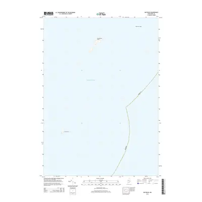
2014 Map of Matinicus
USGS Topo · Published 2014About this map
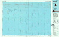
Wooden Ball Island and Matinicus Rock emerge from the Atlantic Ocean in this coastal survey of the outer waters of Knox County. The map documents a maritime landscape defined by small island outcroppings and navigational hazards, most notably the rocky protrusion of Malcolm Ledge to the northeast. This 2014 edition captures the precise topography of these remote landforms, providing essential detail for those studying the island chains and maritime boundaries of coastal Maine. The presence of established county boundaries across the open water highlights the administrative reach of the mainland into the Gulf of Maine, even at these distant points of land.
Find a feature on this map
5 named features on this map. Tap any name to fly to it.
Don’t see what you’re looking for? This feature index may not catch every label — zoom into the map to look around manually.
Map Details
Editions of this 2014 Matinicus Map
This is the sole edition of this map. No revisions or reprints were ever made.
Other maps of this area

1906 · Matinicus
USGS Topo · 1:62,500

1948 · Bath
USGS Topo · 1:250,000
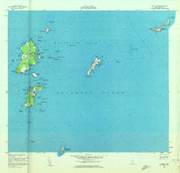
1953 · Matinicus
USGS Topo · 1:24,000

1956 · Bath
USGS Topo · 1:250,000

1957 · Bath
USGS Topo · 1:250,000

1958 · Bath
USGS Topo · 1:250,000

1963 · Bath
USGS Topo · 1:250,000
1965 · Bath
USGS Topo · 1:250,000
1985 · Matinicus
USGS Topo · 1:100,000
1994 · Matinicus
USGS Topo · 1:100,000