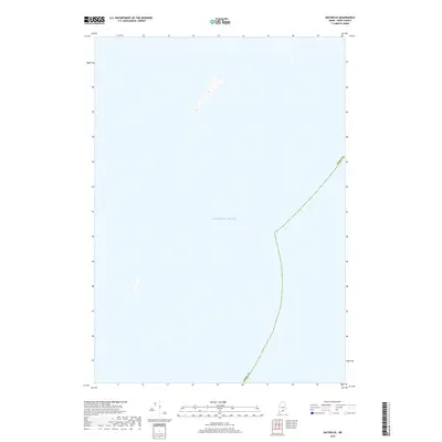
2018 Map of Matinicus
USGS Topo · Published 2018About this map
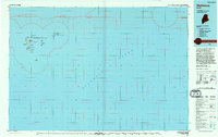
The vast expanse of the Atlantic Ocean dominates this coastal survey, which covers a maritime section of the Maine seaboard. Located within Knox Co, the area is characterized by open water and isolated landforms rising from the sea. These small outcrops, including a central island with distinct contouring, offer a precise look at the bathymetry and topography of Maine's offshore islands as they were charted in 2018. The map's primary focus is the boundary of the county as it extends into the sea, providing a specific reference for the maritime limits of this region.
Find a feature on this map
2 named features on this map. Tap any name to fly to it.
Don’t see what you’re looking for? This feature index may not catch every label — zoom into the map to look around manually.
Map Details
Editions of this 2018 Matinicus Map
This is the sole edition of this map. No revisions or reprints were ever made.
Other maps of this area

1906 · Matinicus
USGS Topo · 1:62,500

1948 · Bath
USGS Topo · 1:250,000
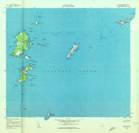
1953 · Matinicus
USGS Topo · 1:24,000

1956 · Bath
USGS Topo · 1:250,000

1957 · Bath
USGS Topo · 1:250,000

1958 · Bath
USGS Topo · 1:250,000

1963 · Bath
USGS Topo · 1:250,000
1965 · Bath
USGS Topo · 1:250,000
1985 · Matinicus
USGS Topo · 1:100,000
1994 · Matinicus
USGS Topo · 1:100,000