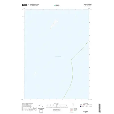
2021 Map of Matinicus
USGS Topo · Published 2021About this map
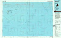
The vast expanse of the Atlantic Ocean dominates this maritime survey off the coast of Maine. Situated within the Knox County archipelago near Vinalhaven, the map illustrates the isolated character of these outlying waters as documented by the U.S. Geological Survey in the early twenty-first century. While primarily a hydrographic study, the sheet records several unnamed small islands and rock formations that define the treacherous coastal approaches. The inclusion of a maritime boundary line cutting through the open water highlights the complex jurisdictional nature of the Gulf of Maine. This map serves as a primary record of the sea-level terrain and offshore topography for navigators and coastal historians interested in the remote reaches of the Maine coastline.
Find a feature on this map
1 named feature on this map. Tap any name to fly to it.
Don’t see what you’re looking for? This feature index may not catch every label — zoom into the map to look around manually.
Map Details
Editions of this 2021 Matinicus Map
This is the sole edition of this map. No revisions or reprints were ever made.
Other maps of this area

1906 · Matinicus
USGS Topo · 1:62,500

1948 · Bath
USGS Topo · 1:250,000
1953 · Matinicus
USGS Topo · 1:24,000

1956 · Bath
USGS Topo · 1:250,000

1957 · Bath
USGS Topo · 1:250,000

1958 · Bath
USGS Topo · 1:250,000

1963 · Bath
USGS Topo · 1:250,000
1965 · Bath
USGS Topo · 1:250,000
1985 · Matinicus
USGS Topo · 1:100,000
1994 · Matinicus
USGS Topo · 1:100,000