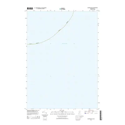
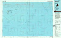
2014 Map of Matinicus OE E
USGS Topo · Published 2014About this map
The Atlantic Ocean dominates this offshore survey, providing a maritime perspective of the jurisdictional boundaries of Maine far from the mainland. Located in the waters southeast of the Penobscot Bay archipelago, the map charts the administrative limit of Knox County as it arcs through open water. This 2014 edition serves as a precise record of marine boundaries and hydrography at a scale of 1:24,000, illustrating the vast aquatic territory that falls under local governance. The absence of landmasses or terrestrial features emphasizes the importance of maritime surveying in defining the easternmost reaches of the state's coastal authority.
Find a feature on this map
4 named features on this map. Tap any name to fly to it.
Don’t see what you’re looking for? This feature index may not catch every label — zoom into the map to look around manually.
Map Details
Editions of this 2014 Matinicus OE E Map
This is the sole edition of this map. No revisions or reprints were ever made.
Other maps of this area

1906 · Matinicus
USGS Topo · 1:62,500

1948 · Bath
USGS Topo · 1:250,000
1953 · Matinicus
USGS Topo · 1:24,000

1956 · Bath
USGS Topo · 1:250,000

1957 · Bath
USGS Topo · 1:250,000

1958 · Bath
USGS Topo · 1:250,000

1963 · Bath
USGS Topo · 1:250,000
1965 · Bath
USGS Topo · 1:250,000
1985 · Matinicus
USGS Topo · 1:100,000
1994 · Matinicus
USGS Topo · 1:100,000