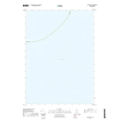
2018 Map of Matinicus OE E
USGS Topo · Published 2018About this map
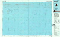
The Atlantic Ocean dominates this maritime survey, illustrating the open waters off the coast of Knox County during the late twenty-tens. The map serves as a nautical boundary study, tracing the curved jurisdictional line of Knox Co through the sea. As a specialized offshore quadrangle, the sheet provides a precise look at the coordinates and maritime limits used for contemporary hydrography and resource management. There are no terrestrial landmarks or islands present, placing the focus entirely on the expanse of the ocean and the invisible political borders that define Maine's coastal waters.
Find a feature on this map
2 named features on this map. Tap any name to fly to it.
Don’t see what you’re looking for? This feature index may not catch every label — zoom into the map to look around manually.
Map Details
Editions of this 2018 Matinicus OE E Map
This is the sole edition of this map. No revisions or reprints were ever made.
Other maps of this area

1906 · Matinicus
USGS Topo · 1:62,500

1948 · Bath
USGS Topo · 1:250,000
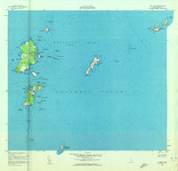
1953 · Matinicus
USGS Topo · 1:24,000

1956 · Bath
USGS Topo · 1:250,000

1957 · Bath
USGS Topo · 1:250,000

1958 · Bath
USGS Topo · 1:250,000

1963 · Bath
USGS Topo · 1:250,000
1965 · Bath
USGS Topo · 1:250,000
1985 · Matinicus
USGS Topo · 1:100,000
1994 · Matinicus
USGS Topo · 1:100,000