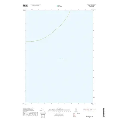
2021 Map of Matinicus OE E
USGS Topo · Published 2021About this map
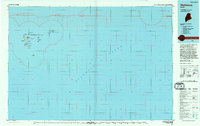
The Atlantic Ocean dominates this offshore coordinate block, representing a purely maritime segment of the Gulf of Maine. Located southeast of the mainland, the map covers an area of open water characterized by the absence of islands or terrestrial features within its boundaries. A solitary dashed maritime boundary line cuts through the upper portion of the sheet, providing a precise navigational reference point within the Atlantic Ocean. Because this quadrangle focuses entirely on the sea, it is primarily useful for researchers requiring exact bathymetric positioning or maritime boundary data for the Knox County coastal region.
Find a feature on this map
1 named feature on this map. Tap any name to fly to it.
Don’t see what you’re looking for? This feature index may not catch every label — zoom into the map to look around manually.
Map Details
Editions of this 2021 Matinicus OE E Map
This is the sole edition of this map. No revisions or reprints were ever made.
Other maps of this area

1906 · Matinicus
USGS Topo · 1:62,500

1948 · Bath
USGS Topo · 1:250,000
1953 · Matinicus
USGS Topo · 1:24,000

1956 · Bath
USGS Topo · 1:250,000

1957 · Bath
USGS Topo · 1:250,000

1958 · Bath
USGS Topo · 1:250,000

1963 · Bath
USGS Topo · 1:250,000
1965 · Bath
USGS Topo · 1:250,000
1985 · Matinicus
USGS Topo · 1:100,000
1994 · Matinicus
USGS Topo · 1:100,000