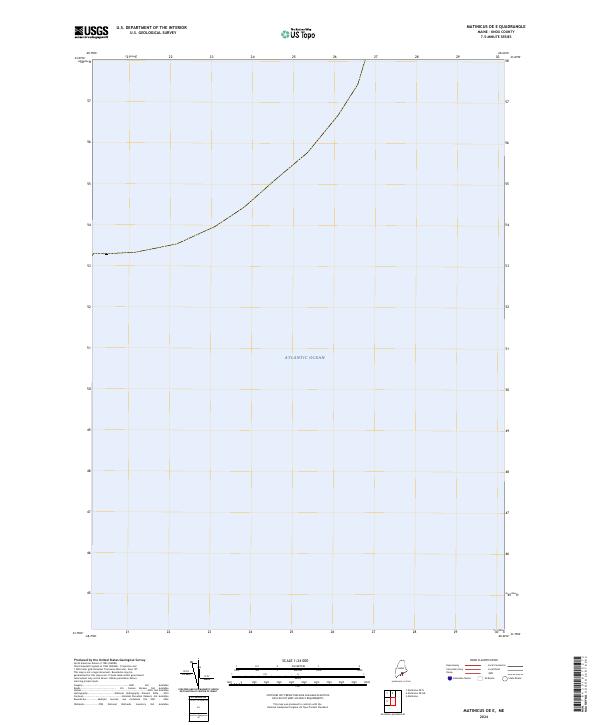
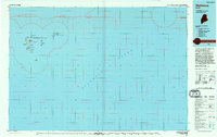
2024 Map of Matinicus OE E
USGS Topo · Published 2024About this map
The Atlantic Ocean dominates this maritime expanse within the Gulf of Maine, captured in a 2024 survey by the U.S. Geological Survey. This particular sheet focus is primarily nautical, emphasizing the open waters and sea boundaries of the Matinicus OE E region off the coast of Knox County. While terrestrial features are absent, the map serves as a contemporary reference for the hydrography and maritime positioning of the waters surrounding Maine's outlying island groups. It illustrates the modern cartographic standards of the National Geospatial Program, providing a clear record of the coastal shelf at this specific geographic coordinate.
Find a feature on this map
1 named feature on this map. Tap any name to fly to it.
Don’t see what you’re looking for? This feature index may not catch every label — zoom into the map to look around manually.
Map Details
Editions of this 2024 Matinicus OE E Map
This is the sole edition of this map. No revisions or reprints were ever made.
Other maps of this area

1906 · Matinicus
USGS Topo · 1:62,500

1948 · Bath
USGS Topo · 1:250,000
1953 · Matinicus
USGS Topo · 1:24,000

1956 · Bath
USGS Topo · 1:250,000

1957 · Bath
USGS Topo · 1:250,000

1958 · Bath
USGS Topo · 1:250,000

1963 · Bath
USGS Topo · 1:250,000
1965 · Bath
USGS Topo · 1:250,000
1985 · Matinicus
USGS Topo · 1:100,000
1994 · Matinicus
USGS Topo · 1:100,000