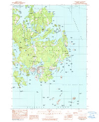
2024 Map of Matinicus OE E
USGS Topo · Published 2024About this map
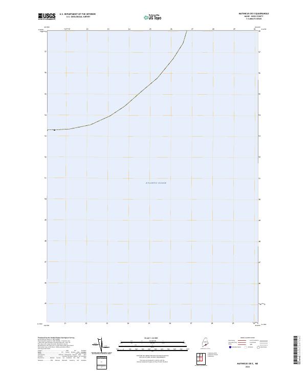
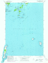
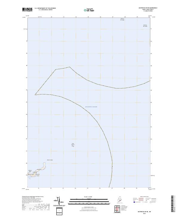
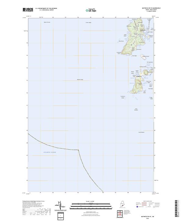
The Atlantic Ocean dominates this maritime expanse within the Gulf of Maine, captured in a 2024 survey by the U.S. Geological Survey. This particular sheet focus is primarily nautical, emphasizing the open waters and sea boundaries of the Matinicus OE E region off the coast of Knox County. While terrestrial features are absent, the map serves as a contemporary reference for the hydrography and maritime positioning of the waters surrounding Maine's outlying island groups. It illustrates the modern cartographic standards of the National Geospatial Program, providing a clear record of the coastal shelf at this specific geographic coordinate.
Find a feature on this map
1 named feature on this map. Tap any name to fly to it.
Don’t see what you’re looking for? This feature index may not catch every label — zoom into the map to look around manually.
Map Details
Editions of this 2024 Matinicus OE E Map
This is the sole edition of this map. No revisions or reprints were ever made.
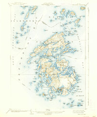
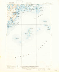
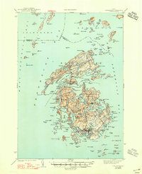
Historical Maps of Matinicus Isle Plantation Through Time
50 maps found

1904 Tenants Harbor
Knox County, ME
1904 Vinalhaven
Knox County, ME

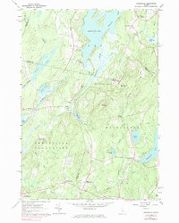
1906 Matinicus
Knox County, ME
1906 Tenants Harbor
Knox County, ME

1941 Vinalhaven
Knox County, ME
1944 Vinalhaven
Knox County, ME
1955 Camden
Knox County, ME
1955 Friendship
Knox County, ME
1955 Hewett Island
Knox County, ME

1955 Monhegan
Knox County, ME

1955 Tenants Harbor
Knox County, ME
1955 Thomaston
Knox County, ME

1955 West Rockport
Knox County, ME
1961 Razorville
Knox County, ME
1961 Washington
Knox County, ME
1965 Union
Knox County, ME

1982 Leadbetter Island
Knox County, ME

1982 North Haven East
Knox County, ME
1982 Vinalhaven
Knox County, ME

1983 Isle Au Haut East
Knox County, ME

1983 Isle Au Haut West
Knox County, ME

1983 North Haven West
Knox County, ME

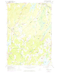
1985 Matinicus
Knox County, ME

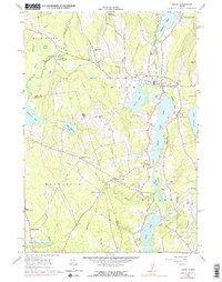
1994 Matinicus
Knox County, ME

2000 Camden
Knox County, ME

2000 Vinalhaven
Knox County, ME
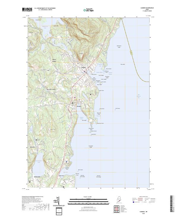
2024 Camden
Knox County, ME

2024 Friendship
Knox County, ME

2024 Hewett Island
Knox County, ME
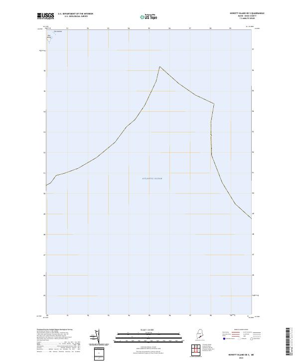
2024 Hewett Island OE S
Knox County, ME
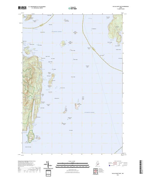
2024 Isle Au Haut East
Knox County, ME
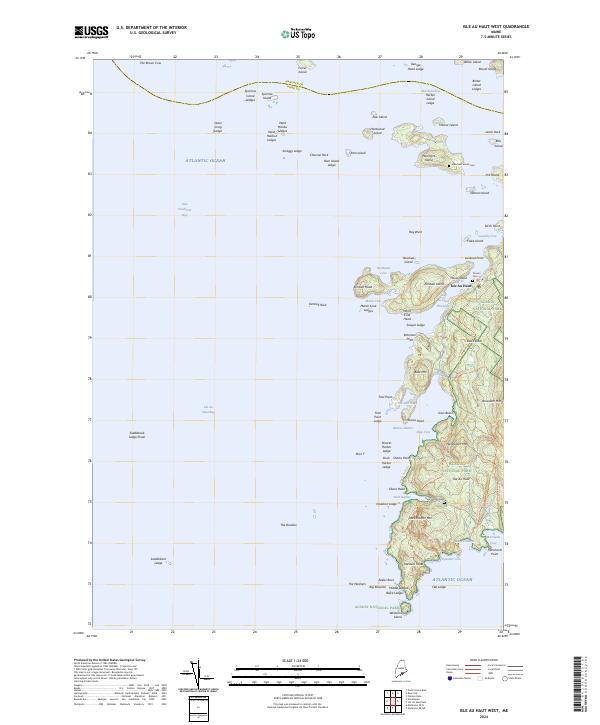
2024 Isle Au Haut West
Knox County, ME
2024 Leadbetter Island
Knox County, ME
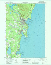
2024 Matinicus
Knox County, ME
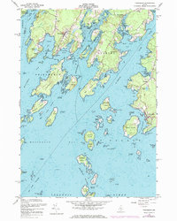
2024 Matinicus OE E
Knox County, ME
2024 Matinicus OE NE
Knox County, ME
2024 Matinicus OE N
Knox County, ME

2024 Matinicus OE NW
Knox County, ME
2024 Matinicus OE W
Knox County, ME
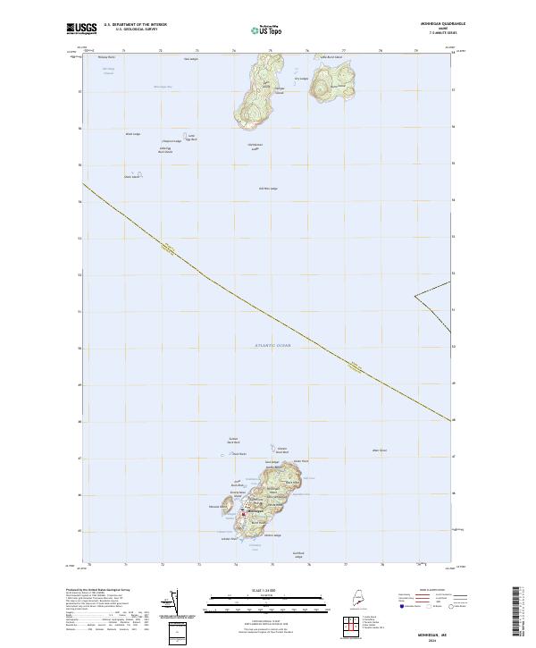
2024 Monhegan
Knox County, ME
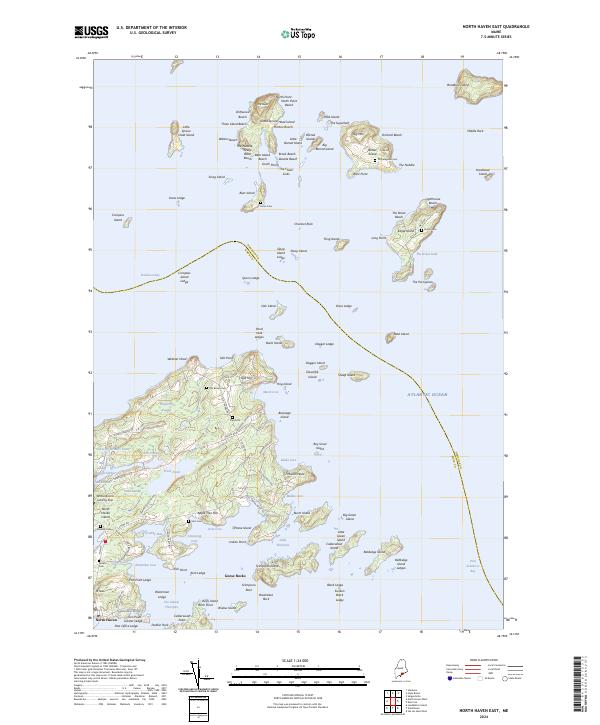
2024 North Haven East
Knox County, ME
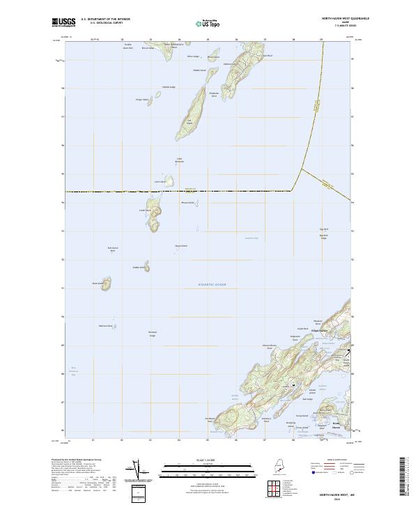
2024 North Haven West
Knox County, ME
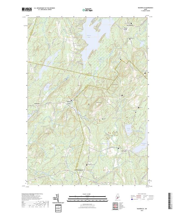
2024 Razorville
Knox County, ME

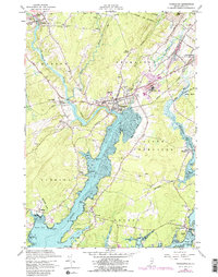
2024 Tenants Harbor
Knox County, ME
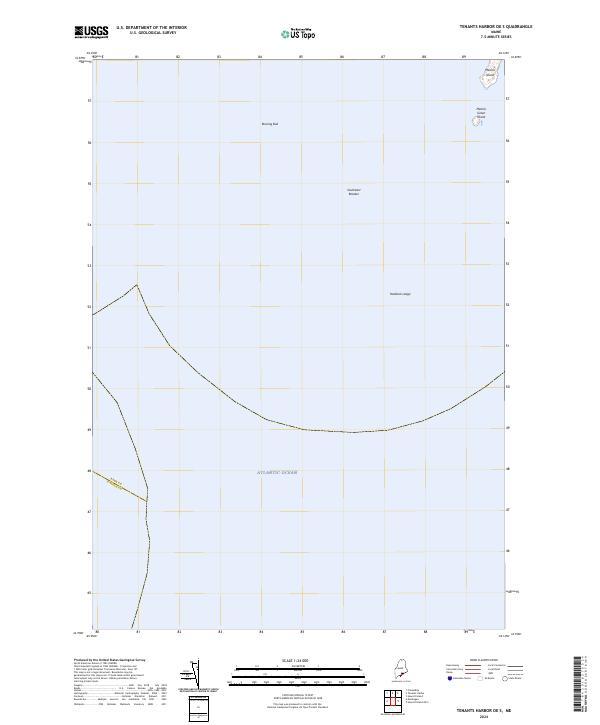
2024 Tenants Harbor OE S
Knox County, ME

2024 Thomaston
Knox County, ME
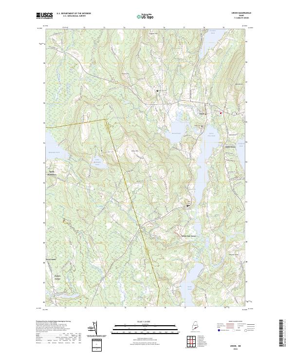
2024 Union
Knox County, ME
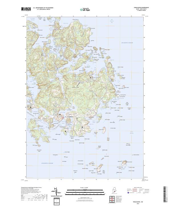
2024 Vinalhaven
Knox County, ME
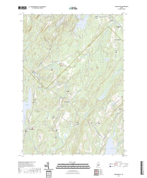
2024 Washington
Knox County, ME
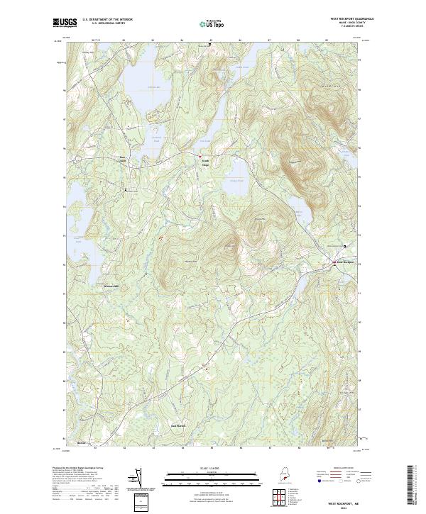
2024 West Rockport
Knox County, ME