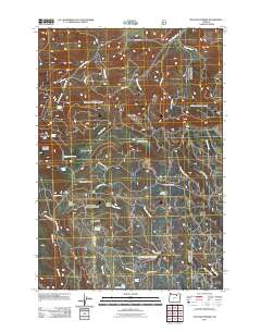
2011 Map of Matlock Prairie
USGS Topo · Published 2011About this map
Matlock Prairie and its surrounding high-elevation grasslands define this portion of the Umatilla National Forest region. The landscape is characterized by a series of open meadows and forest clearings, including Balsinger Prairie, Kenny Prairie, and Round Prairie, which have historically supported seasonal grazing and recreation. The presence of Fivemile Cow Camp near the center of the sheet reflects the enduring ranching heritage of the area, while the Arbuckle Ski Area on the slopes of Arbuckle Mountain points to its role in local winter sports. A dense network of forest development roads, such as Nat For Dev Rd 060 and Jones Prairie Rd, provides access to numerous water sources like Happy Home Spring and Sulphur Spring. These features, alongside drainage systems like Swale Creek and Taylor Creek, illustrate a complex upland environment managed for both its natural resources and public utility.
Find a feature on this map
41 named features on this map. Tap any name to fly to it.
Don’t see what you’re looking for? This feature index may not catch every label — zoom into the map to look around manually.
Map Details
Editions of this 2011 Matlock Prairie Map
This is the sole edition of this map. No revisions or reprints were ever made.
Other maps of this area

1953 · Pendleton
USGS Topo · 1:250,000

1956 · Pendleton
USGS Topo · 1:250,000

1967 · Freezeout Ridge
USGS Topo · 1:24,000

1968 · Hoodlum Canyon
USGS Topo · 1:24,000

1968 · Gurdane
USGS Topo · 1:24,000

1969 · Lake Penland
USGS Topo · 1:24,000

1969 · Sugarbowl Creek
USGS Topo · 1:24,000

1969 · Deerhorn Creek
USGS Topo · 1:24,000

1969 · Thompson Flat
USGS Topo · 1:24,000

1969 · Arbuckle Mtn
USGS Topo · 1:24,000