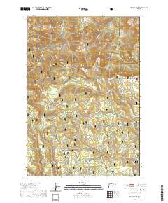
2020 Map of Matlock Prairie
USGS Topo · Published 2020About this map
The high-elevation parklands of the Umatilla National Forest dominate this modern survey of the Blue Mountains region. Defined by a series of distinct, named clearings, the landscape includes Balsinger Prairie, North Jones Prairie, and Kenny Prairie, which served as vital landmarks for early forest management and grazing. The topography is deeply incised by drainages such as Bear Claw Canyon and Butter Creek, while potable water sources are mapped at Happy Home Spring and Sulphur Spring. The map is particularly notable for its documentation of the seasonal road network, with several routes designated as snow-accessible only. These include the Old Western Route, Shaw Grade, and the historic Arbuckle track near Arbuckle Mountain, providing a detailed look at the infrastructure required to navigate this remote timber and ranching country near the Morrow and Umatilla County line.
Find a feature on this map
45 named features on this map. Tap any name to fly to it.
Don’t see what you’re looking for? This feature index may not catch every label — zoom into the map to look around manually.
Map Details
Editions of this 2020 Matlock Prairie Map
This is the sole edition of this map. No revisions or reprints were ever made.
Other maps of this area

1953 · Pendleton
USGS Topo · 1:250,000

1956 · Pendleton
USGS Topo · 1:250,000

1967 · Freezeout Ridge
USGS Topo · 1:24,000

1968 · Hoodlum Canyon
USGS Topo · 1:24,000

1968 · Gurdane
USGS Topo · 1:24,000

1969 · Lake Penland
USGS Topo · 1:24,000

1969 · Sugarbowl Creek
USGS Topo · 1:24,000

1969 · Deerhorn Creek
USGS Topo · 1:24,000

1969 · Thompson Flat
USGS Topo · 1:24,000

1969 · Arbuckle Mtn
USGS Topo · 1:24,000