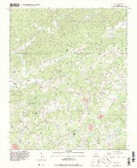
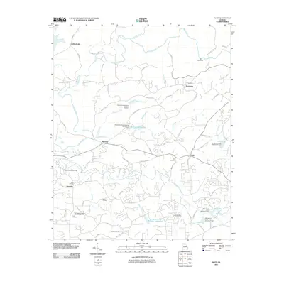
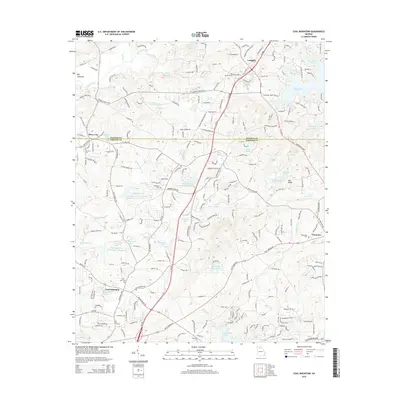
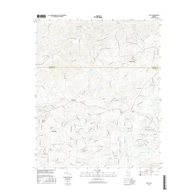
1964 Map of Matt
USGS Topo · Published 1974About this map
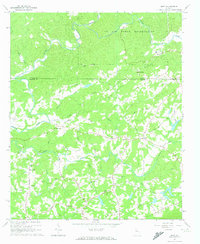
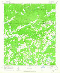
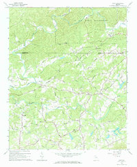
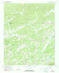
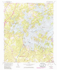
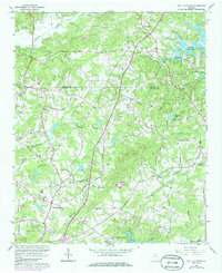
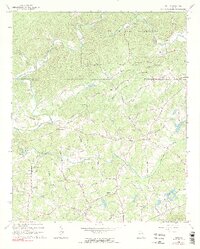
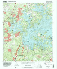
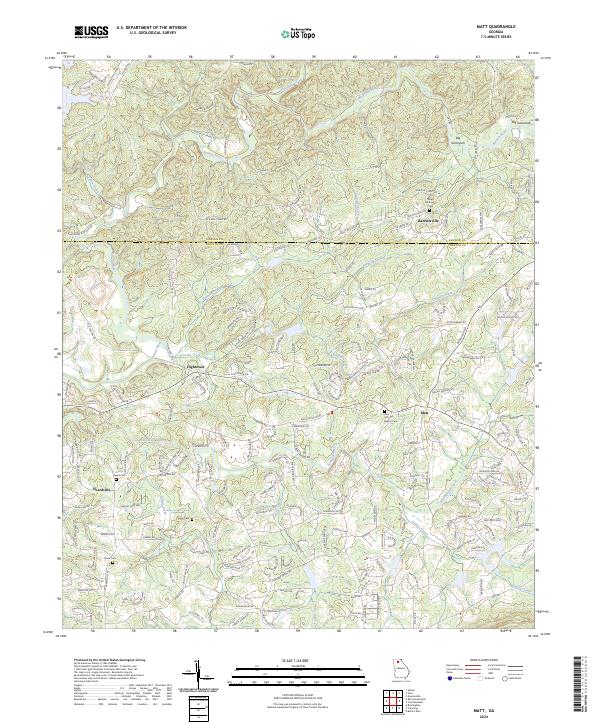
The Etowah River carves through this northern Georgia landscape, marking the boundary between Dawson and Forsyth counties. In the mid-1960s, this region remained predominantly rural, characterized by scattered family-named settlements like Matt, Heardville, and Hightower. A large portion of the northern terrain is occupied by the US Air Force Reservation, while the remainder is defined by a dense network of local creeks such as Settingdown Creek and Amicalola Creek. The social fabric of the era is visible through its many country churches and burial grounds, including Salem Ch and Mt Tabor Cem. Transportation in the area relies on numerous local routes like Burnt Bridge Road, and a historical Covered Bridge still stands near the western edge of the quadrangle. An interesting localized landmark is the Drag Strip located in the southwestern corner near McConnell Road.
Find a feature on this map
55 named features on this map. Tap any name to fly to it.
Don’t see what you’re looking for? This feature index may not catch every label — zoom into the map to look around manually.
Map Details
Editions of this 1964 Matt Map
5 editions found
Historical Maps of Barrettsville Through Time
23 maps found
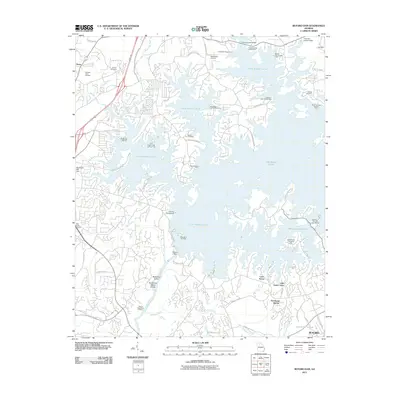
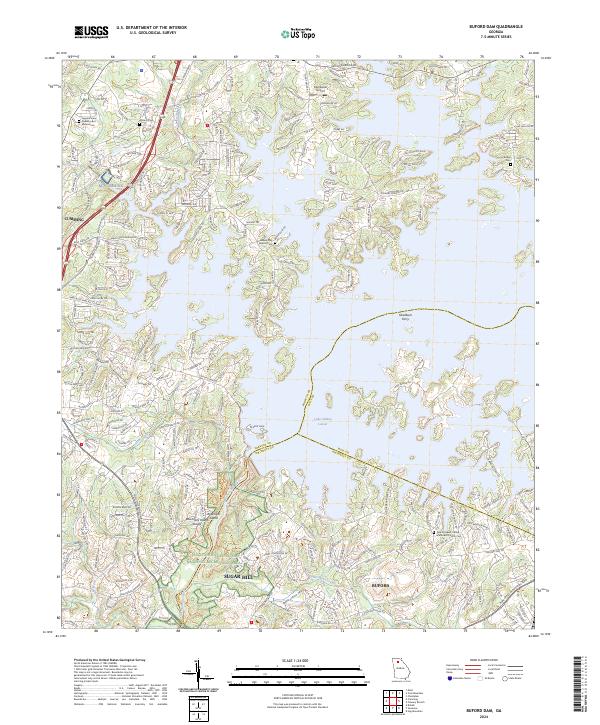
1964 Buford Dam
Forsyth County, GA
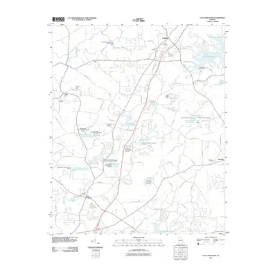
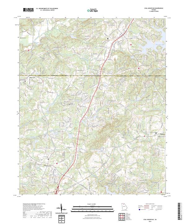
1964 Coal Mountain
Forsyth County, GA
1964 Matt
Forsyth County, GA
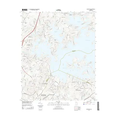
1993 Buford Dam
Forsyth County, GA
1993 Matt
Forsyth County, GA
1997 Coal Mountain
Forsyth County, GA
1999 Buford Dam
Forsyth County, GA
1999 Matt
Forsyth County, GA
2011 Buford Dam
Forsyth County, GA
2011 Coal Mountain
Forsyth County, GA
2011 Matt
Forsyth County, GA
2014 Buford Dam
Forsyth County, GA
2014 Coal Mountain
Forsyth County, GA
2014 Matt
Forsyth County, GA
2017 Buford Dam
Forsyth County, GA
2017 Coal Mountain
Forsyth County, GA
2017 Matt
Forsyth County, GA
2020 Buford Dam
Forsyth County, GA
2020 Coal Mountain
Forsyth County, GA
2020 Matt
Forsyth County, GA
2024 Buford Dam
Forsyth County, GA
2024 Coal Mountain
Forsyth County, GA
2024 Matt
Forsyth County, GA