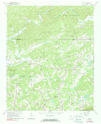
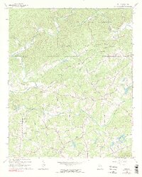
1964 Map of Matt
USGS Topo · Published 1990About this map
Matt and Heardville anchor this landscape of north Georgia, where the Etowah River and Amicalola Creek carve through the terrain near the border of Dawson and Forsyth counties. The mid-20th-century road network is defined by numerous family-named routes and functional crossings, including a Covered Bridge on Settingdown Creek. Large portions of the northern section are occupied by the U S Air Force Reservation, creating a distinct boundary between military land and the surrounding rural communities. Genealogists will find a dense concentration of local landmarks, from Mt Tabor Ch and Salem Ch to the Heard Cem and Sewell Cem. The map also documents the local economy and recreation of the era, showing several Gravel Pits and the Twin Lakes area, alongside specialized features like the Drag Strip Road.
Find a feature on this map
61 named features on this map. Tap any name to fly to it.
Don’t see what you’re looking for? This feature index may not catch every label — zoom into the map to look around manually.
Map Details
Editions of this 1964 Matt Map
5 editions found
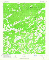
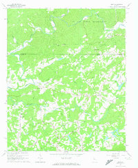
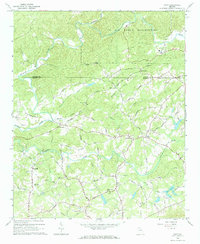
Other maps of this area

1890 · Suwanee
USGS Topo · 1:125,000

1894 · Suwanee
USGS Topo · 1:125,000

1926 · Tate
USGS Topo · 1:62,500

1928 · Tate
USGS Topo · 1:62,500

1955 · Rome
USGS Topo · 1:250,000

1956 · Birmingham
USGS Topo · 1:24,000

1958 · Rome
USGS Topo · 1:250,000

1961 · Rome
USGS Topo · 1:250,000

1963 · Rome
USGS Topo · 1:250,000
1964 · Juno
USGS Topo · 1:24,000