
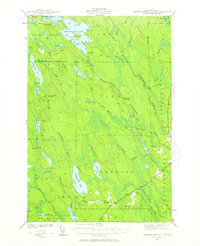
1941 Map of Mattawamkeag Lake
USGS Topo · Published 1958About this map
Mattawamkeag Lake and its northern counterpart, Upper Mattawamkeag Lake, dominate this interior Aroostook County landscape as it appeared during the early 1940s. The topography is defined by a series of north-south running elevations like Hurricane Ridge and Pettingill Ridge, with the West Branch Mattawamkeag River cutting a winding path through the center. Small settlements and specialized locations are sparse, making the small community of Glenwood and specific sites like City Camp Landing and the Hitching Post notable markers of human presence in a heavily wooded region.
Find a feature on this map
71 named features on this map. Tap any name to fly to it.
Don’t see what you’re looking for? This feature index may not catch every label — zoom into the map to look around manually.
Map Details
Editions of this 1941 Mattawamkeag Lake Map
4 editions found
Other maps of this area

1937 · Smyrna Mills
USGS Topo · 1:62,500

1938 · Houlton
USGS Topo · 1:62,500

1940 · Danforth
USGS Topo · 1:62,500

1940 · Amity
USGS Topo · 1:62,500

1940 · Island Falls
USGS Topo · 1:62,500

1940 · Sherman
USGS Topo · 1:62,500

1940 · Mattawamkeag
USGS Topo · 1:62,500

1941 · Danforth
USGS Topo · 1:62,500

1941 · Amity
USGS Topo · 1:62,500

1941 · Wytopitlock
USGS Topo · 1:62,500