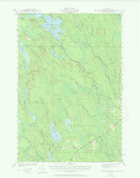
1941 Map of Mattawamkeag Lake
USGS Topo · Published 1970About this map
Mattawamkeag Lake dominates this northern Maine landscape, serving as a central drainage point for the surrounding Aroostook County timberlands during the early 1940s. The hydrography of the region is intricately detailed, showing the convergence of the West Branch and East Branch Mattawamkeag River. Evidence of the area's logging history and water management is visible through features like Moores Dam and Long Dam, while the remote settlement at Glenwood and the isolated City Camp Landing indicate the seasonal and industrial nature of local residency. Notable landmarks include the Otter Lake Fire Tower and the curiously named Hamilton Mistake cove. The map also traces the historical Monument Line, a significant surveying boundary that bisects the townships of Island Falls and Haynesville.
Find a feature on this map
67 named features on this map. Tap any name to fly to it.
Don’t see what you’re looking for? This feature index may not catch every label — zoom into the map to look around manually.
Map Details
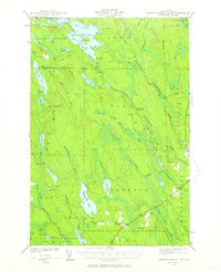
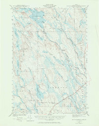
Editions of this 1941 Mattawamkeag Lake Map
4 editions found
Other maps of this area

1937 · Smyrna Mills
USGS Topo · 1:62,500

1938 · Houlton
USGS Topo · 1:62,500

1940 · Danforth
USGS Topo · 1:62,500

1940 · Amity
USGS Topo · 1:62,500

1940 · Island Falls
USGS Topo · 1:62,500

1940 · Sherman
USGS Topo · 1:62,500

1940 · Mattawamkeag
USGS Topo · 1:62,500

1941 · Danforth
USGS Topo · 1:62,500

1941 · Amity
USGS Topo · 1:62,500

1941 · Mattawamkeag Lake
USGS Topo · 1:62,500